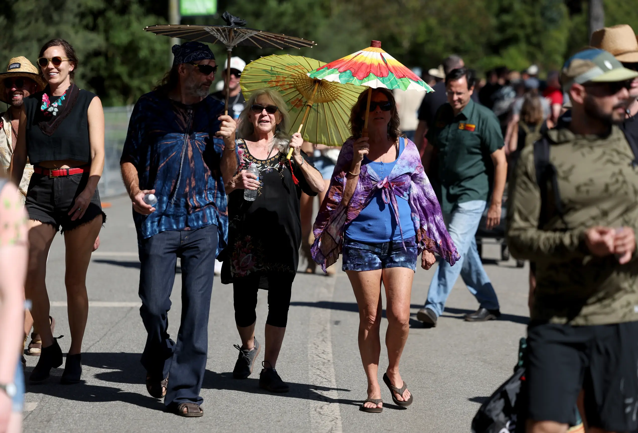
A heat wave that promised to be perhaps the most intense of 2026 has lived up to its billing, and the slow build of dangerous heat was expected to peak Tuesday and Wednesday with temperatures up to 20 degrees hotter than they normally would be this time of year, according to the National Weather Service.
Read more Bay Area residents say their own lives are on track. The region is another story
With that said, there is an end in sight.
“Once we get to the weekend, a lot of the parts of the Bay Area are going to cool off,” National Weather Service meteorologist Dial Hoang said. “We’re going to be back to seasonal averages or slightly below them.”
Getting there will be navigated through a course of heat that on Tuesday was already lifting temperatures in the mid-to-high 90’s in the far interior inland areas of the Bay, the upper 80s to lower 90s in the South Bay and the mid-70s along the coastal areas of the San Francisco Bay and Pacific Ocean.
Temperatures have hovered in those figures since last week, and the weather service extended a heat advisory through 10 p.m. Thursday. The heat also has brought bad air, and the Bay Area Air District issued a Spare the Air Alert for the fourth consecutive day.
One underlining factor that has kept the heat from being worse is that an initial compression of the marine layer is losing its strength. By Tuesday, the marine layer had returned enough to create fog along the Bay Coast early Tuesday and knock down overnight temperatures in most of the lower-elevation hot spots into the low 60s and high 50s. The higher elevations remained in the high 60s and low 70s overnight.
Read more Election 2026: Is Proposition 45 a housing solution or developer loophole?
“The marine layer started to redevelop on Monday, but the high pressure aloft is still compressing it,” Hoang said. “So where it’s really being felt is on the coastlines.”
That redevelopment was the first sign that the region is closer to the end of the heat wave then to the beginning of it. Hoang said that the marine layer will increase as the high pressure that created this heat blast gradually moves east. Lower pressure in the upper and lower atmosphere is set to replace it and take a rather firm hold, he said.
“As we get into Friday, we’ll start to cool down,” Hoang said. “On Saturday, we’ll feel the most noticeable cooling.”
Winds have remained relatively calm during the heat wave, good news considering that heavy winds blowing toward the ocean can enhance fire danger. Hot temperatures remained a fire concern, but the weather service had not issued any red flag warnings for fire danger in the region or state early Tuesday.
Read more Fatal Highway 99 bus crash ruled murder-suicide by Tehama Sheriff
About the Author