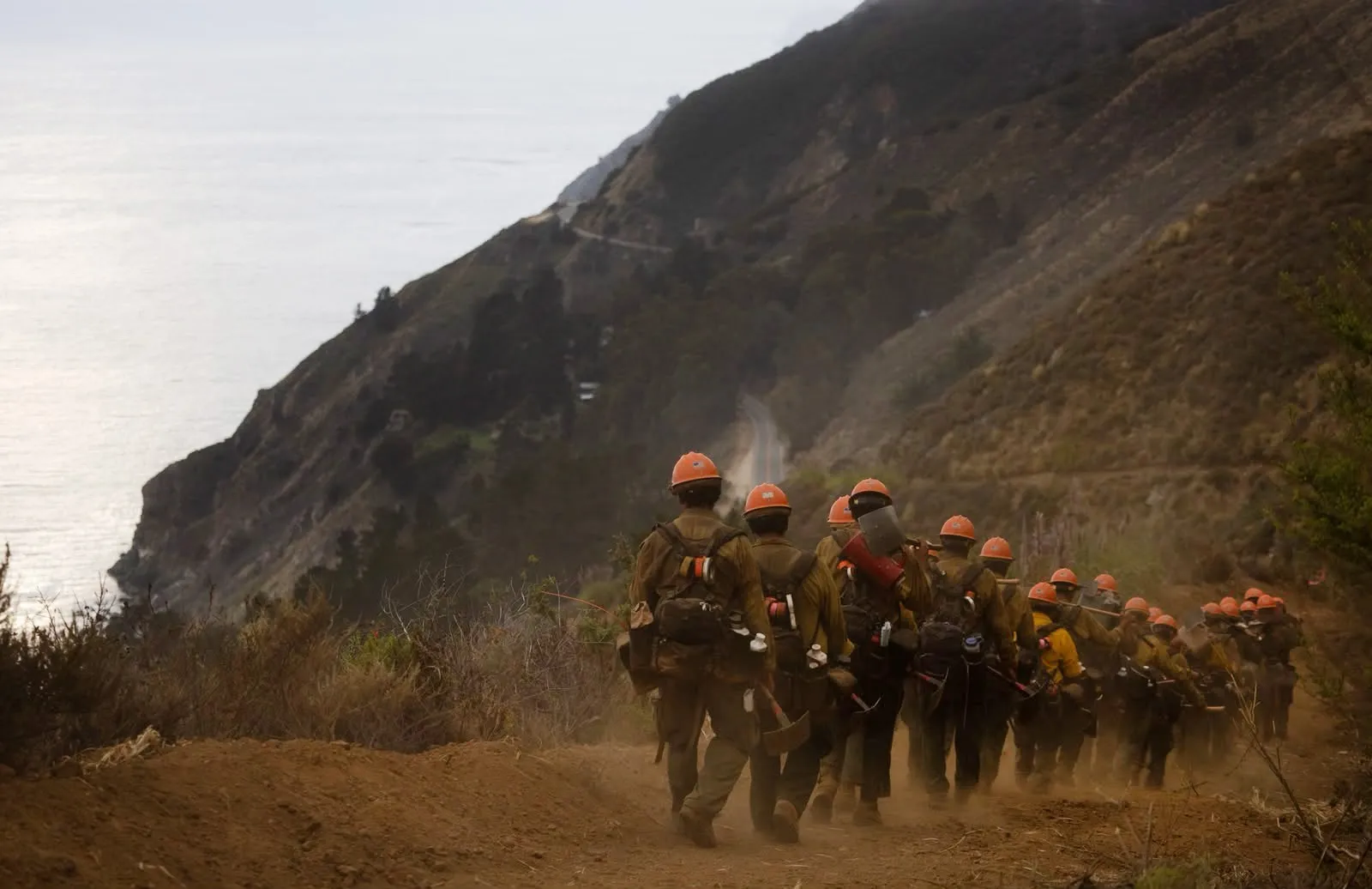
BIG SUR – On Tuesday, the Plaskett Fire officially eclipsed the Timber Fire in scale, bringing the total area of the two fires to over 50,000 acres. Cal Fire says that firefighters continue to make progress on both the Timber and Plaskett fires as cooler weather overnight and improved humidity helped reduce the intensity of the fire.
Read more Passenger killed in suspected DUI crash in San Bruno
The Timber Fire is currently mapped at 25,223 acres and 22% containment. Cal Fire says the fire had remained in its footprint overnight Tuesday and had minimal additional growth. The Plaskett Fire reached 28,968 acres as of last mapping and is at 1% containment, having grown more than 10,000 acres Tuesday.
Cal Fire still reports no structures damaged for both fires and one reported firefighter injury for the Timber Fire.
Cal Fire says the eastern edge of the Plaskett Fire has remained their primary concern as the fire continues to burn into Fort Hunter Liggett. Like the Timber Fire, steep terrain has limited access to firefighers, but the Plaskett Fire so far has had access to far heavier fuel sources. Unlike the Timber Fire, which has been reported to be spreading mostly along the grass, the Plaskett Fire has access to vegetation that has not seen significant fire activity for 50 years.
Firefighers are focused on strengthening control lines and securing the western portion of the fire facing Highway 1. Weather forecasts indicate cooler temperatures and higher humidity, which are expected to reduce fire conditions and aid in suppression.
Read more Amazon, Synopsys reveal plans for Bay Area job cuts
Fort Hunter Liggett is an Army base and training facility and the largest of the U.S. Army reserve training grounds at 165,000 acres. The army website reports that Nacimiento-Ferguson Road through the base is closed and that a fishing and hunting program on the base has been temporarily suspended. Their website warns to drive with extra caution and to watch for wildlife and emergency vehicles.
Highway 1 has remained closed to through traffic as of September 2, from south of the Little Sur River, on the north end, to the Monterey/San Luis Obispo County line on the south end, cutting off traffic just before the Point Sur lighthouse. A release from the City of Monterey Tuesday morning suggested they were awaiting a decision regarding the “possibility” of reopening portions of the highway.
A public information meeting has been scheduled for Wednesday at 6 p.m. at Mid Coast Fire Brigade, 38,000 Palo Colorado Road, Carmel. The meeting will be broadcast at the U.S. Forest Service – Los Padres Nat’l Forest Facebook Page with ASL translation also available.
Read more 49ers fly out without injured defensive end Sam Okuayinonu
About the Author