A stubborn weather pattern that has seen high temperatures alternately rise into the low 90s, drop into the high 80s and then rise into the 90s again may finally be coming to an end but not before another spike.
Read more Monday Morning Lights: Who’s the QB at Riordan, De La Salle, Clayton Valley?
The spike is likely to begin again Tuesday, when temperatures are likely to jump an additional 4-5 degrees from their expected highs Monday — 89 in LIvermore, 87 in Concord, 84 in San Jose — before peaking in the mid- to upper-90s by Thursday. But come the weekend, another cooldown is likely, and this one could stick, according to the National Weather Service.
“We’re looking for a real chance that we’ll see a full pattern change,” NWS meteorologist Rachel Kennedy said Monday. “As the trough pushes in closer to the West Coast, we’ll probably see some significantly cooler weather. There’s also a possibility we could pick up some tropical moisture. There’s low confidence in that right now, but we’re keeping an eye on it.”
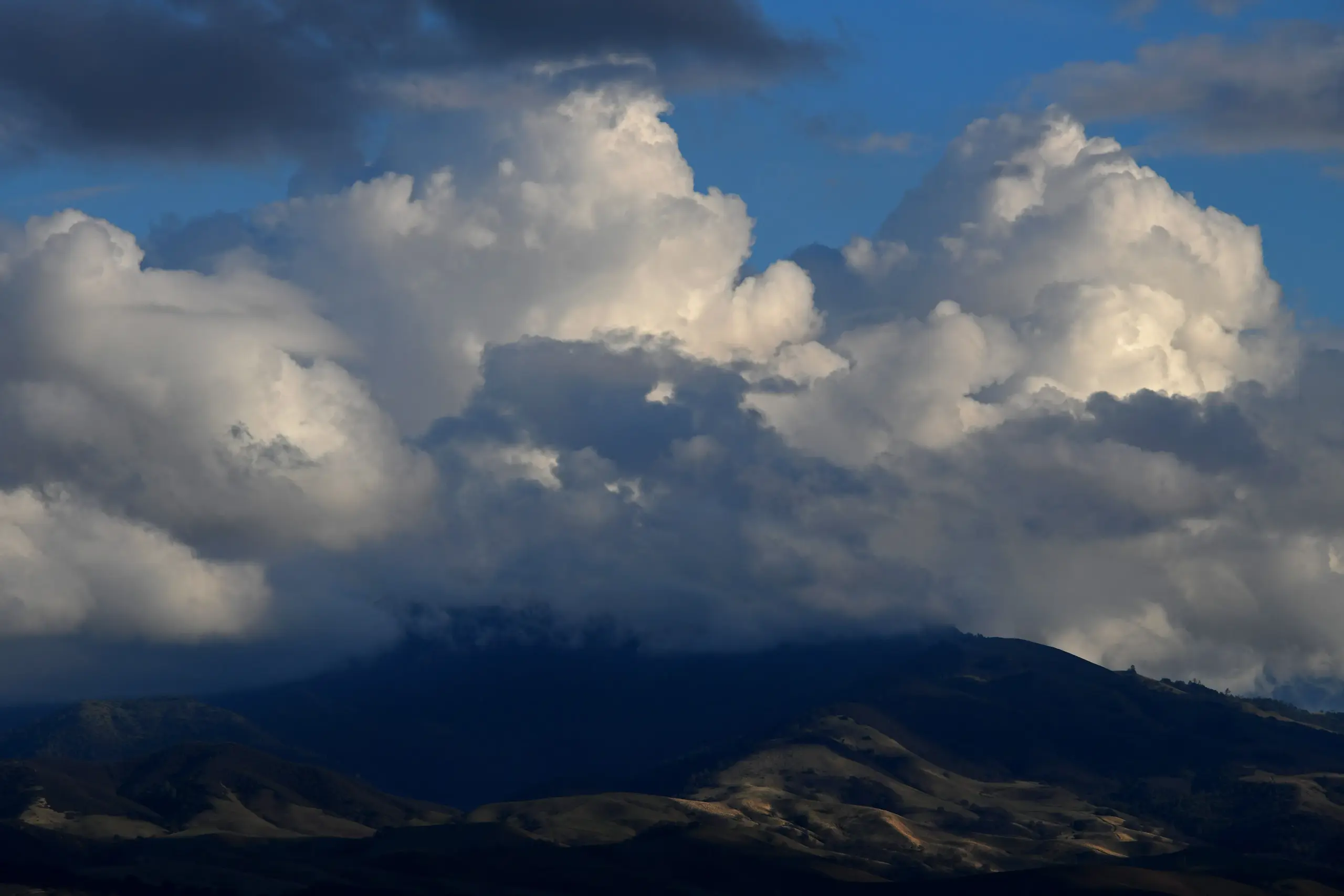
The low-pressure trough in the upper atmosphere has been vying for position with a high-pressure dome centered more now in the southwestern desert than near Big Sur. On any given day, either the low pressure or high pressure has exerted more influence.
Read more Newark woman struggles to find help for a dying wild animal
“They’re fighting for dominance over us,” Kennedy said. “The trough is to the north and the (high-pressure) ridging is to the south.”
Out over the eastern Pacific ocean, the mixture is leading to a rise in the ocean swells, and that could affect the region by the weekend. Kennedy said sneaker waves may reappear along with strong rip currents.
Read more Map: Hawk Fire evacuation near Reno
“We should get a better idea as the week progresses,” she said.
About the Author