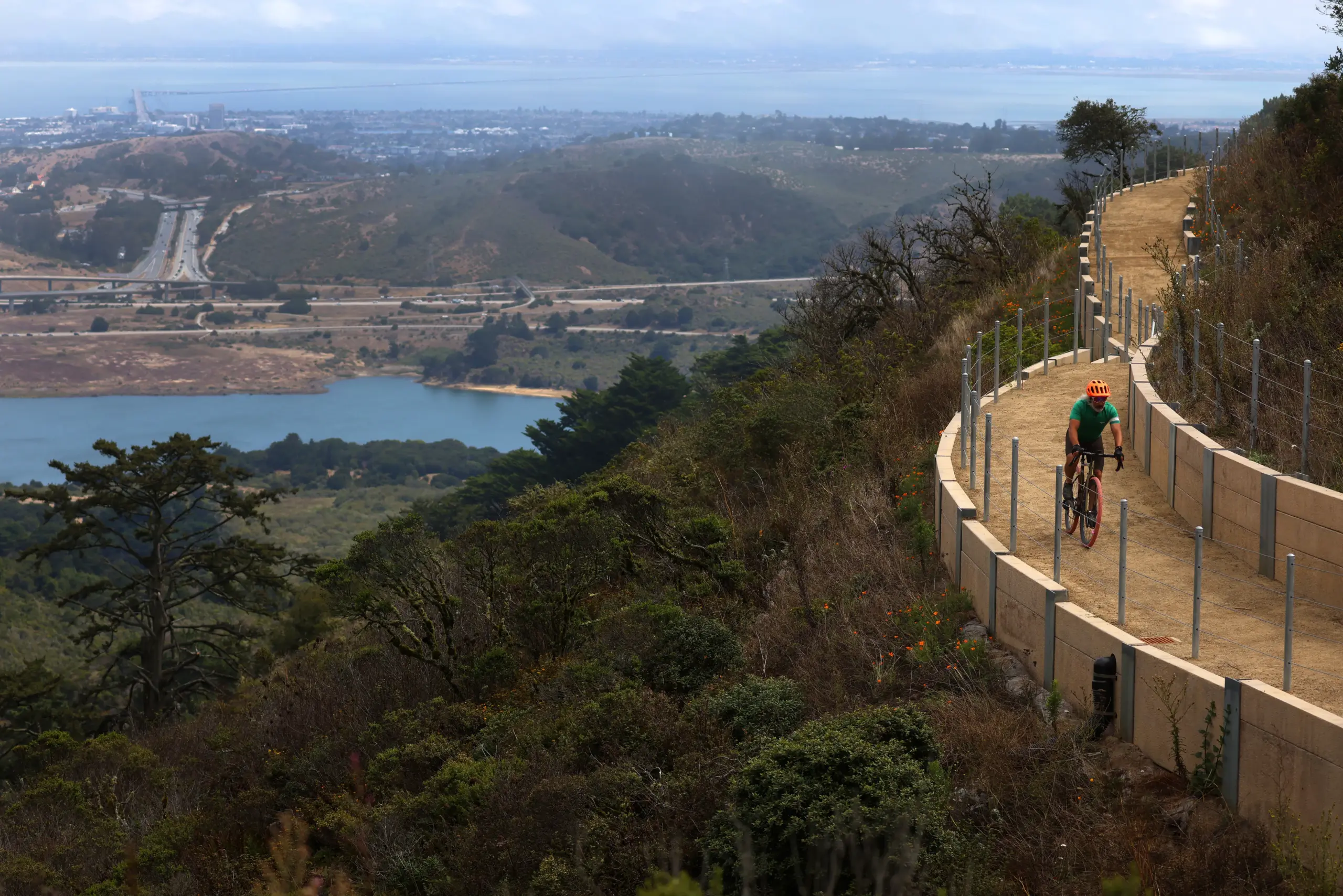
Avid hiker Bob Siegel spends hours exploring nature trails that wind around mountain ridges and stoop through valley floors.
Read more Palo Alto: Man dies in collision between motorcycle, vehicle
On Thursday morning he ventured into new territory. As the last wisps of morning fog floated away over Skyline Boulevard near Redwood City, Siegel became one of the first hikers to step foot on a new six-mile trail, the latest installment for the Bay Area Ridge Trail.
“How could I possibly not come here?,” the San Francisco resident said as he walked up the dirt path. “This is something I’ve been looking forward to for about a quarter of a century. It’s wonderful.”
Siegel, who served on the board of the Bay Area Ridge Trail Council, joined local leaders and trail workers in a private ceremony to open the Skyline Watershed Ridge Trail.
The new stretch runs parallel to Skyline Boulevard south of Highways 35 and 92, and extends all the way to the Phleger Estate boundary. It is part of a planned 550-mile trail that will connect the ridges, valleys and parks of all nine counties.
Hikers, bikers and equestrians can visit the Skyline trail from 6 a.m. to 6 p.m. everyday beginning Monday, Aug. 24. A free permit is required and available on the San Francisco Public Utilities Commission’s (SFPUC) website.
With the addition of Skyline, the ridge trail is nearly three quarters of the way done according to Janet McBride, executive director for the Bay Area Ridge Trail.
San Mateo County Supervisor Ray Muller said the new trail will provide “invaluable” benefits for people’s physical and mental health. Muller represents District 3, which includes cities from Pacifica to San Mateo, and unincorporated areas of the Skyline trail.
“These opportunities are precious and need to be protected,” he said. “It’s a legacy to leave for future generations.”
Read more Fashion statement: How hockey’s Mariah Keopple, Valkyries’ Gabby Williams formed a unique bond
The $25 million project was funded by the SFPUC and a grant from the Federal Highway Administration. Building for the trail began in 2024. The SFPUC is a department of the City and County of San Francisco that manages drinking water for 2.7 million people in the Bay Area.
“Its about balancing two critical goals at PUC, protecting the watershed and also providing these recreational opportunities,” said SFPUC Commission President Josh Arce.
SFPUC owns the 23,000-acre Peninsula Watershed where the Skyline trail is located. In an effort to provide more public access into the watershed’s pristine forest and mountain regions, SFPUC opened the Fifield-Cahill Ridge Trail in 2003.
The 10-mile trail extends from the Skyline Quarry at Highway 92 to the watershed’s northern boundary, but only guided outings are allowed. That’s why hikers like Siegel have been waiting for more public paths, like Skyline, to open.
Alongside the Skyline trail are a new parking lot and two restrooms.There is also a flat, half-mile trail compliant with the American with Disabilities Act standard and feeds into the Fifield-Cahill Ridge Trail.
For decades, hikers have dreamed of forming a trail looping around all nine counties. William Penn Mott Jr., a former general manager of the East Bay Regional Park District, helped turn the idea into a reality. In 1987, Mott, who was then President Ronald Reagan’s national parks director, provided advice and funding to organize the trail.
The first mile was dedicated in 1989 in San Mateo County at Purisima Creek Redwoods Preserve and Huddart County Park. Soon the trail reached 100 miles within one year. It took another 5 years to get to 200 miles, then another 10 years to get 300 by 2006.
Last May, the trail welcomed a 14.1-mile section along San Jose’s southern edges.
Read more Charges against LAPD officer who recorded colleagues’ derogatory remarks are reduced
About the Author