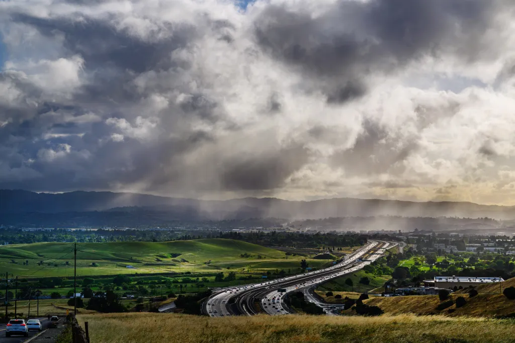
A stubborn low-pressure system from up north showed few signs of wanting to move on Wednesday, with the National Weather Service saying it was straddling the California-Nevada border. At the same time, the NWS said another low-pressure system from the southern tropics was set to impact the region with increasing winds.
Read more San Jose skateboarding icon, ‘a genius and a tortured soul,’ dies at 49
All of it will come amid increasingly warm temperatures into the weekend and early next week that won’t stick around. The reason? An upper-level trough, the weather phenomenon that has dominated the Bay Area’s and Northern California’s weather pattern since April.
“It’s stuck,” NWS meteorologist Rick Canepa said of the troughing aloft and its influence. “The pattern is stuck.”
That has meant periods of weather mirroring what some of the region saw early Wednesday and what much of it experienced Tuesday: cold temperatures, threatening clouds, and occasional mist that grew into a heavy drizzle. Most of the significant rain early Wednesday was in Monterey County and in the Santa Cruz Mountains, with Canepa saying that “up to one-tenth” of an inch fell.
Where the impact was expected to be heaver was in the Sierra Nevada, where rain and snow showers were expected intermittently through Thursday night. As much as 2 inches of snow could accumulate, according to the weather service.
Read more SF Giants swept again by Diamondbacks, fall season-low 12 games under .500
The system creating that weather and the rain in parts of the Bay Area on Tuesday created an isolated thunderstorm cell in Napa County that dropped a half-inch of rain amid lightning during what Canepa called “a very short period” of time.
Canepa said the “nearly stationary” system that brought the bad weather eventually will move east, just in time for the jet streams at its tail to be influenced by the subtropical low pressure. That is expected to create offshore winds that may bring back some of the hazardous beach and marine conditions that resulted in a 24-hour hazardous beach statement that expired at 9 a.m. Wednesday.
As the subtropical system moves, temperatures are expected to increase. Canepa said they are expected to reach 80 degrees in the far inland areas by Saturday and at least the mid-80s by Sunday or Monday. At that point, the weather service expects the upper-level troughing to bring temperatures back down.
Read more Weekend festivals: New San Jose BBQ & Brews event coming to downtown