A continuing build-up of high pressure continued through the weekend and a mild heat wave for the Bay Area during summer’s first week remains on schedule, according to the National Weather Service.
The cooler news is that the ridging is not powerful enough to drive away the marine layer.
“It’s going to be compressing a little bit,” NWS meteorologist Brayden Murdock said. “But it’s not going to shrink out completely.”
Still, the gauges may get high enough by Wednesday that there may be a minor to moderate heat risk, the weather service said. Temperatures in the far interior East Bay, the Santa Clara Valley and the upper North Bay may get to 90 degrees on that day, Murdock said.
Closer to the water, they likely won’t rise out of the 60s.
“There’s going to be plenty of cooldown at night, so it’s not going to be a marathon of heat,” Murdock said. “The marine layer is going to be doing a lot of work.”
Read more California has nation’s 5th-widest income gap
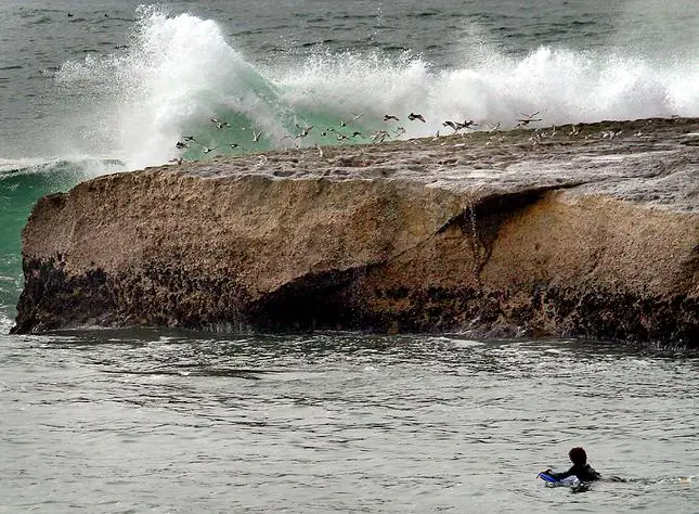
The coolness of the marine layer will be especially welcome in the region this week, because the beaches continue to be places thath should be avoided, weather and public safety officials said. A beach hazards statement issued two weeks ago that was supposed to expire on June 17 has now been extended through 5 p.m. Wednesday.
Sneaker waves — those waves that surge farther up onto the beach than expected, moving logs and debris as they do — and rip currents are in abundance along the Pacific Coast and especially near San Francisco because of powerful storms in the Southern Hemisphere that have created giant swells that gained energy as they crossed the equator.
“We’ve still got a lot of continued activity in the South Pacific, and the long-period swells continue to be hazardous,” Murdock said. “As we get closer to Wednesday, we’ll reassess where we are with the beach hazards.”
Read more What do Orinda brown birds find so attractive in spiderwebs?
About the Author