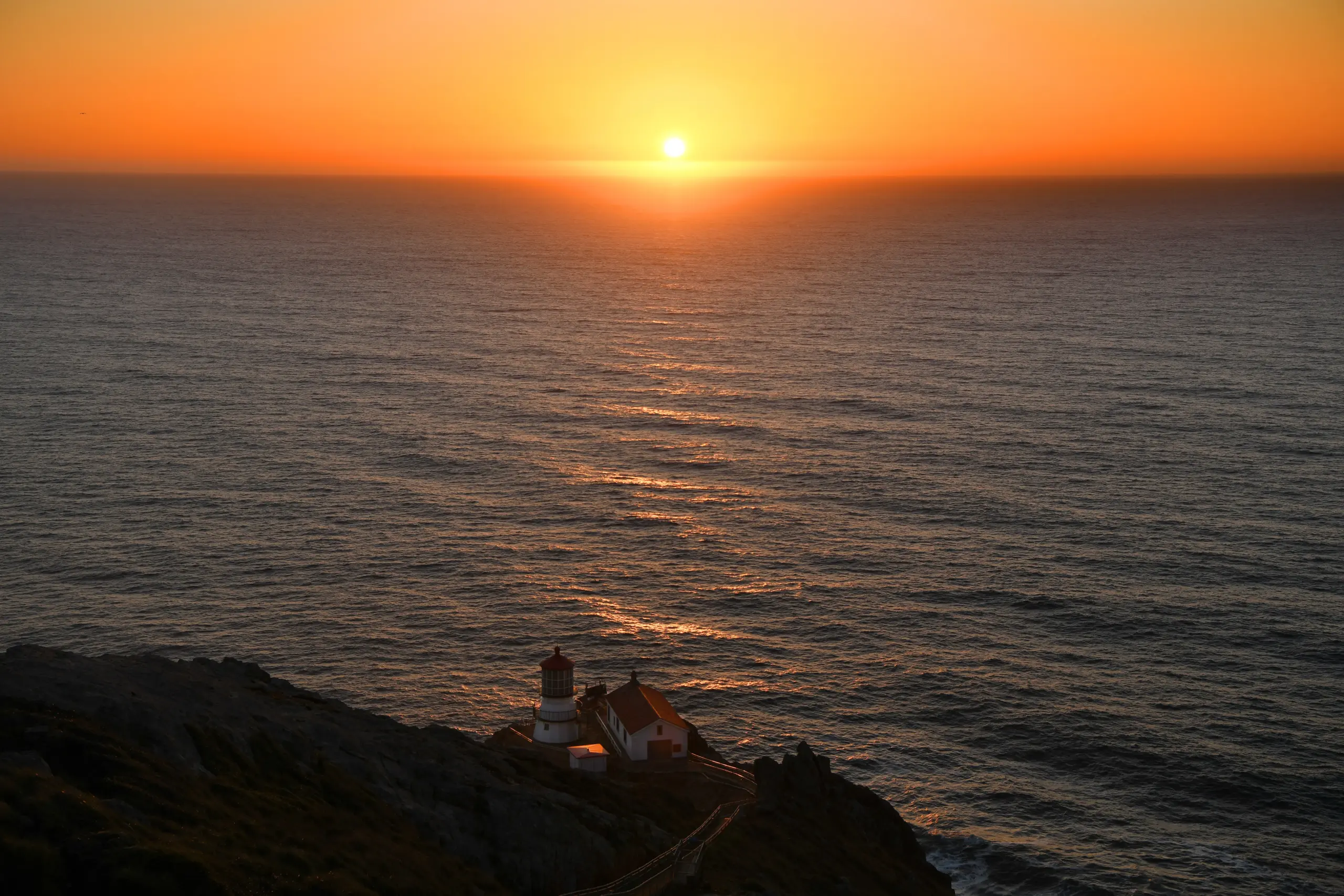
To hear the National Weather Service tell it, a postcard image awaits the Bay Area this weekend, the kind that makes those who live outside the region a bit envious from afar.
Read more From Los Angeles to San Leandro, duo allegedly set up sex dates then robbed the men who showed up
“It should be about as good as it gets,” National Weather Service meteorologist Rick Canepa said. “Even with the warm-up.”
The warm-up will be a gradual rise in the region’s temperatures, beginning with a slight one on Saturday and a more significant one on Sunday. Still, the high temperatures for the weekend’s last day aren’t supposed to rise above 88 degrees anywhere, and the normally cooler places along the Bay Coast will remain comfortable in the day and borderline chilly at night.
So how long will the picturesque glow last?
“Going into later Saturday afternoon and into Sunday, we’ll start to see high pressure aloft is going to start to return,” Canepa said. “It may start to decompress the the marine level gradually Saturday night into Sunday and then into next week.”
Generally, a decompression of the marine layer is an indicator that a long stretch of heat may settle into the region and sometimes opens a window for winds blowing toward the ocean, increasing the fire danger. That said, the marine layer has been so deep and the upper air so cold that Canepa said this may simply indicate a return to the summer norm for the region.
Read more AI-generated content is flooding political campaigns. California lawmakers are trying to regulate it
On Friday morning, the marine layer contained so much moisture that the weather service measured one-hundredth of an inch of drizzle in downtown San Francisco and nearly .05 inches in San Leandro. Some areas near the central coast recorded up to one-tenth of an inch.
The extra thick marine layer came as a by-product of the higher-level low-pressure trough that created isolated thunderstorms along the central coast on Tuesday.
“The compression likely will mean the end of the overnight drizzle,” Canepa said. “Plus, it’s much cooler than normal. At 2,500 feet (elevation), it was about 50 degrees. That’s way at the bottom of what we would expect for August. It’s not typical. Usually, it’s much warmer.”
Another wildcard in what may happen in a week or 10 days is Tropical Storm Lala, which is bearing down on the Big Island of Hawaii and may be a hurricane when it gets there this weekend. Canepa said the weather service is eyeballing what the ripple effect of that hurricane will be on low pressure in the upper northwest and the high pressure near the Great Basin that caused a heat wave last week.
Read more When does Target give away free stuff? Here are the dates
About the Author