The end of June also is likely to mean less of the clear blue sky that has marked many of the month’s final days, and a mild heat wave is expected to fade.
Read more Supreme Court says Fed’s Cook can keep her job for now, but it upholds other Trump firings
That said, it’s still expected to be plenty warm on the Fourth of July. The National Weather Service said it’s just going to be preceded by a chilly morning. When the the sun goes down, it’s likely to be sweater weather in most places.
“We’re going to go from a June gloom to a no-sky July,” NWS meteorologist Scott Rowe said Monday.
Indeed, June was mostly mild in the region, save for three minor heat-ups, none of which lasted more than a handful of days. The last of those cranked up over the weekend and was expected to peak on Monday, with temperatures in the far inland East Bay likely to break the 90-degree barrier and San Jose expected to get into the 80s.
Beginning Tuesday, the stratus clouds that are part of the marine layer are expected to cover the California coast from Santa Barbara to far San Francisco, the weather service said. The sky may be clear during the day, especially in the areas far from the water, but coastal fog is expected to spread far overnight and in the early mornings as the week progresses.
“There’s going to be a lot more on-shore flow,” Rowe said of the marine layer. “So that coastal fog and those clouds are going to stay in place.”
Read more Supreme Court won’t revive Alan Dershowitz’s $300 million suit against CNN
By Friday, the pendulum will swing back and temperatures in the hottest spots are again expected to get into the upper 80s. They’re expected to stay there for the country’s 250th birthday on Saturday. Temperatures in the coastal and Bayshore areas will stay where they’ve been, with high temperatures staying in the upper 60s.
“Even the inland areas could be a lot hotter,” Rowe said. “The reason it’s not even hotter is that we’re under the influence of low pressure in most of western America. Right now that low-pressure trough is centered over the Great Basin. It’s wielding the influence.”
Also holding onto power are the waves in the Pacific Ocean, which continue to roll toward the coast in higher and more powerful swells than normal. That’s occurring because of storms that continue to develop in the Southern Hemisphere, where it is the winter season.
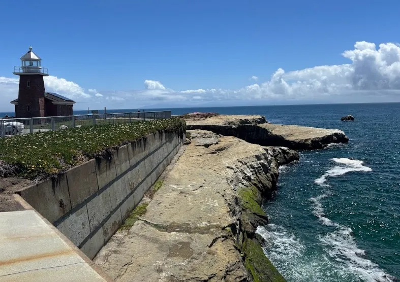
The weather service’s latest beach hazards statement runs through Wednesday morning. Weather and public safety officials are discouraging people from going to the beach and are emphasizing that beachgoers stay out of the water and off the rocks. Rip tides and sneaker waves are in abundance.
“It’s been rocking and rolling,” Rowe said. “The surfers might love it, but it’s really hazardous.”
About the Author