Start with one factual premise: “King tides,” as they are known, aren’t really a separate thing from what we think of as “the tide” the rest of the time.
Read more Pedestrian killed, motorcyclist injured in San Jose collision
“I can’t emphasize that enough,” National Weather Service meteorologist Matt Mehle said Wednesday as high tides of the Pacific Ocean continued to threaten Bay Area havoc. “It was just an expression coined to highlight the astronomical tides of the year. It’s nomenclature. What we are experiencing right now are not king tides.”
Another key fact: The surge of the waves is as much the result of El Niño and the weather as it is the moon. Either way, authorites said the coastlines near the bay and ocean will be dangerous and should be avoided if possible.
The weather service extended a coastal advisory along the San Francisco and Monterey bays through at least Saturday. Tides are expected to be nearly 1½-to 2 feet above their normal inundation level in low-lying areas.
That includes areas of Highway 37 along the San Pablo Bay, the Martinez Marina, and the Marin and Sonoma County coastlines. Authorities urged boat owners to use longer dock lines to protect their vessels.
“This — what will happen this weekend and what’s happening now — is not astronomical tides but the compounding factor of what we call ‘stacking events,’ ” Mehle said. “The stacking event for this situation is not astronomical tides but higher-than-normal ones, and a strong El Niño out in the ocean, which is leading to thermal expansion.”
The thermal expansion of the ocean is expected to create weather challenges all winter for the region and state.
Read more Apple’s foldable iPhone Duo draws early complaints of the screen cracking
“The water is so warm that it takes up more space,” Mehjle said. “If you think of the Pacific Ocean as a tub or a basin, when the water gets warmed it pushes the water higher and takes up more space. That’s what’s happening now.”
Whether rain becomes another stacking event over the weekend remains to be seen. Mehle said the weather service does believe that some light precipitation through the region could extend from a main storm system that’s expected to bring rain to areas of Southern California over the weekend. That confidence is moving lower, he said, and long range forecasts by the weather service Wednesday did not show rain.
They do show temperatures that are expected to peak in the mid-to-high 60s in the hottest places and dip into the high 40s overnight in the coldest places.
“A multiple stacking of events is always the biggest concern,” Mehle said. “So heavy rain would be just one more thing.”
One final thing: The astronomical tides that have been dubbed “king tides” remain on the calendar. Mehle said they are expected in the latter half of November, the latter half of December and the latter half of January 2027.
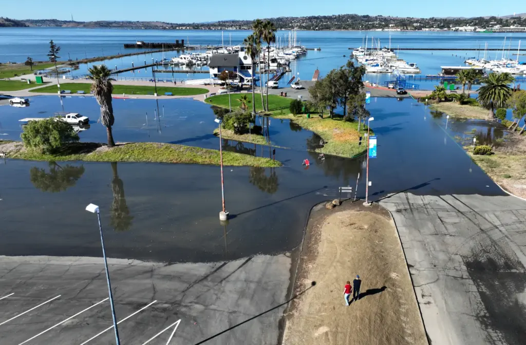 A drone view of high tide flooding at the Martinez Marina in Martinez, Calif., on Wednesday, October 28, 2026. (Jane Tyska/Bay Area News Group)
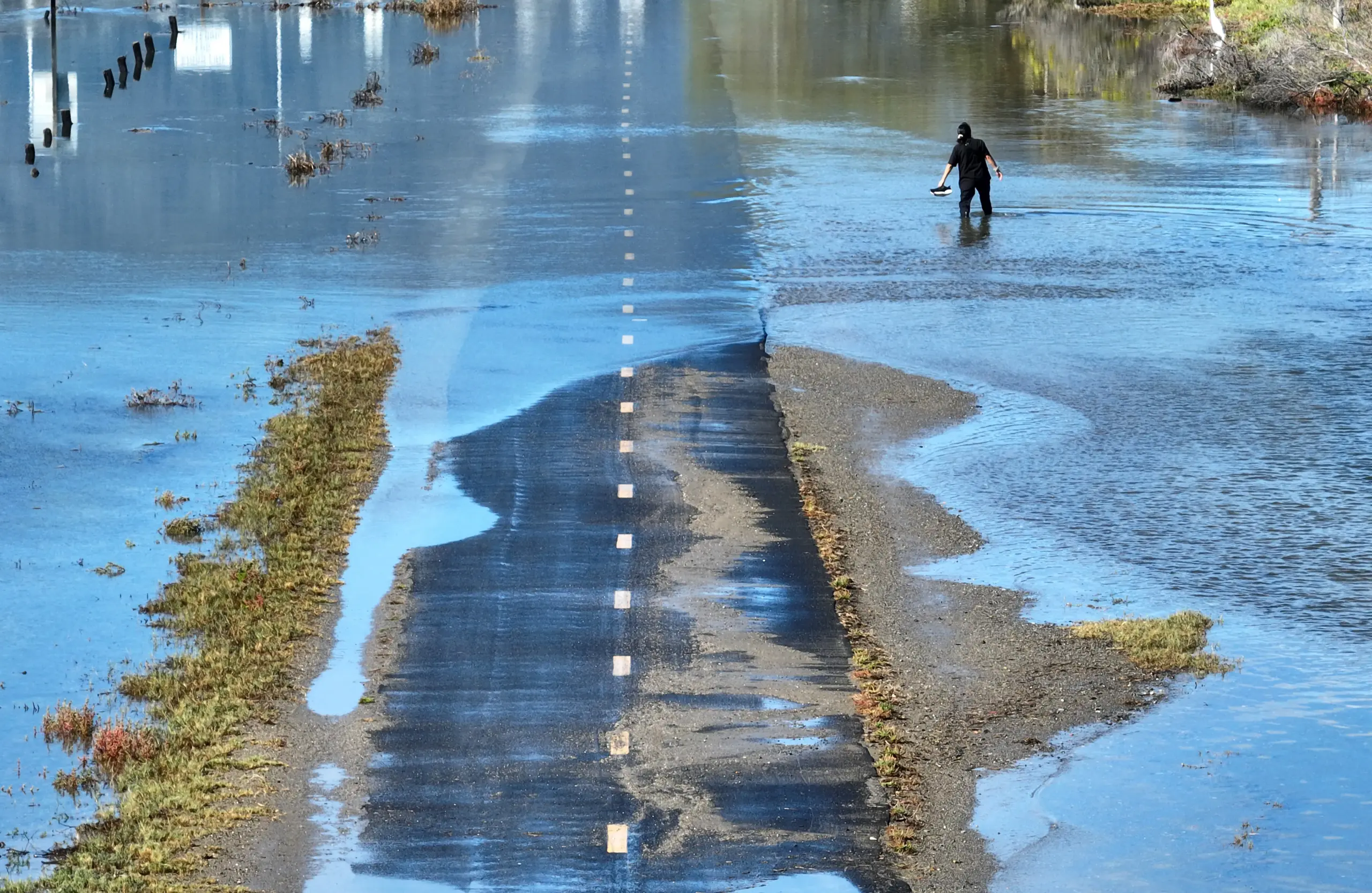
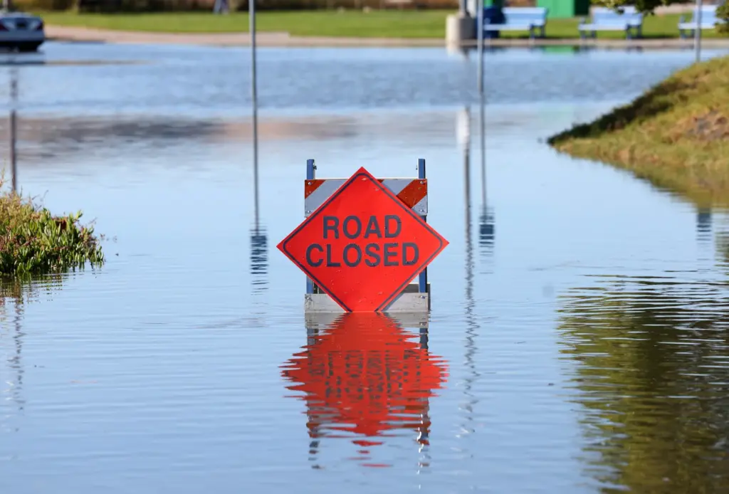 A road closed due to high tide flooding at the Martinez Marina in Martinez, Calif., on Wednesday, October 28, 2026. (Jane Tyska/Bay Area News Group)
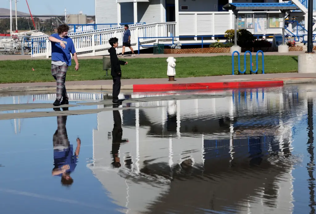 People walk past high tide flooding at the Martinez Marina in Martinez, Calif., on Wednesday, October 28, 2026. (Jane Tyska/Bay Area News Group)
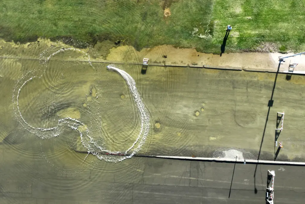 A man operates a remote control boat in this drone view of high tide flooding along East B Street near the Benicia Marina in Benicia, Calif., on Wednesday, October 28, 2026. (Jane Tyska/Bay Area News Group)
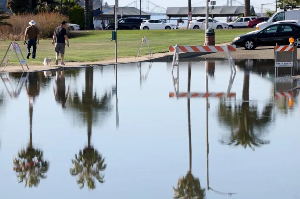 People walk past igh tide flooding along East B Street near the Benicia Marina in Benicia, Calif., on Wednesday, October 28, 2026. (Jane Tyska/Bay Area News Group)
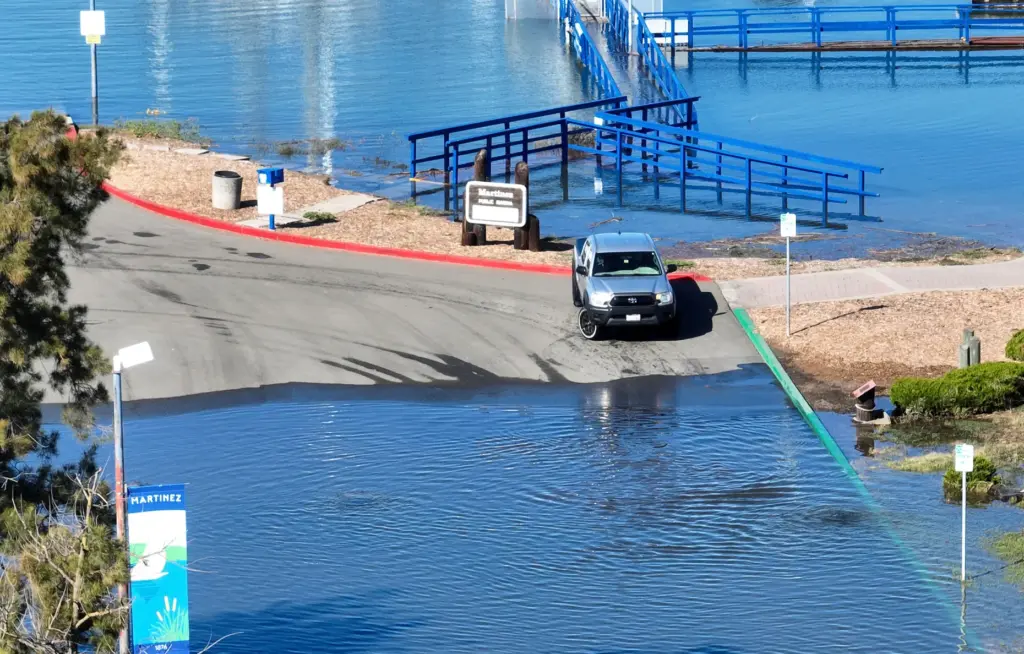 A drone view of high tide flooding at the Martinez Marina in Martinez, Calif., on Wednesday, October 28, 2026. (Jane Tyska/Bay Area News Group)
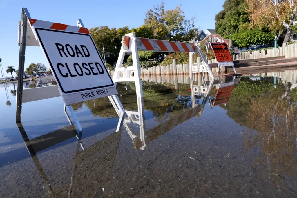 A drone view of high tide flooding along East B Street near the Benicia Marina in Benicia, Calif., on Wednesday, October 28, 2026. (Jane Tyska/Bay Area News Group)
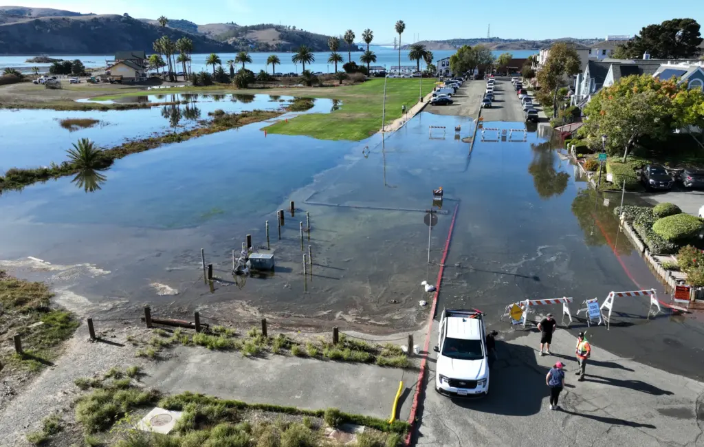 A drone view of high tide flooding near the Benicia Marina in Martinez, Calif., on Wednesday, October 28, 2026. (Jane Tyska/Bay Area News Group)
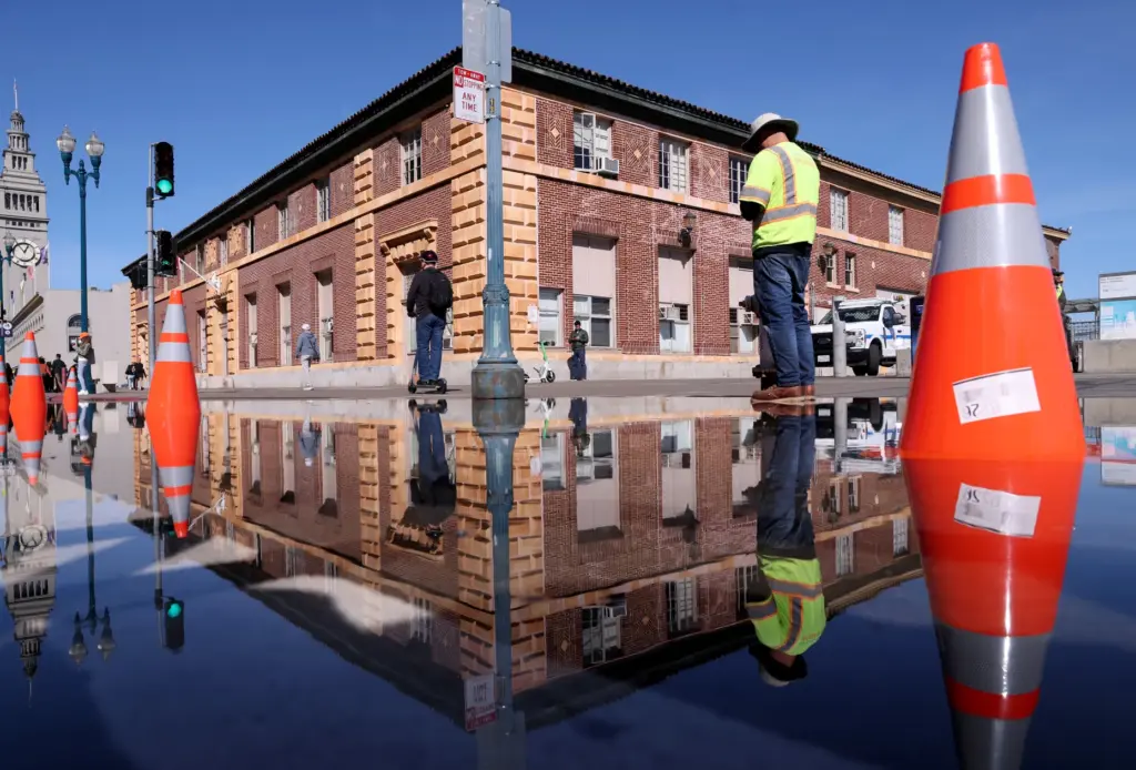 High tide flooding along the Embarcadero in San Francisco, Calif., on Tuesday, October 27, 2026. (Jane Tyska/Bay Area News Group)
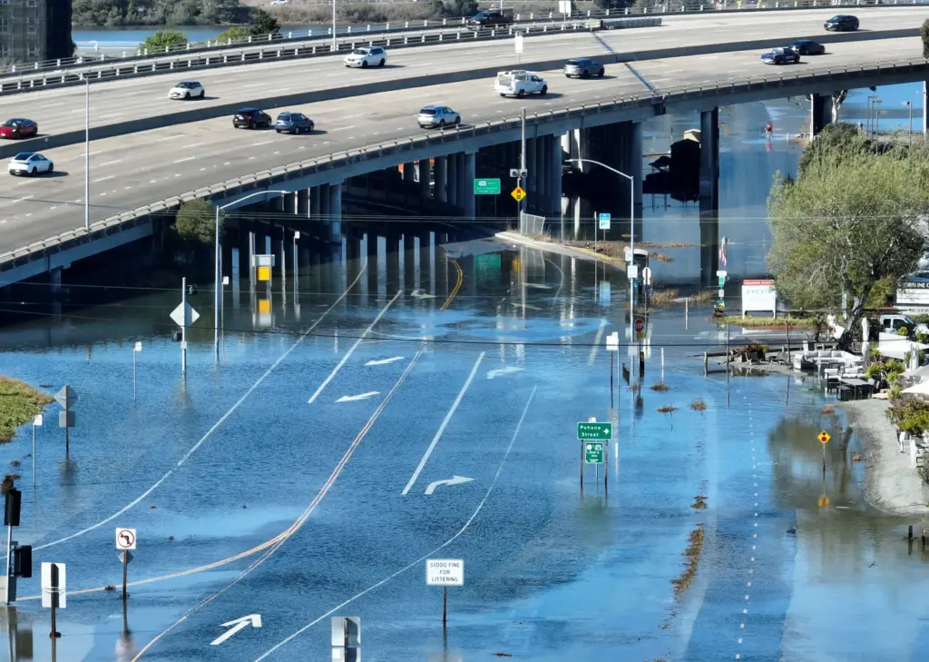 A drone view of high tide flooding near the Mill Valley-Sausalito multiuse path and U.S. 101 in Mill Valley, Calif., on Tuesday, October 27, 2026. (Jane Tyska/Bay Area News Group)
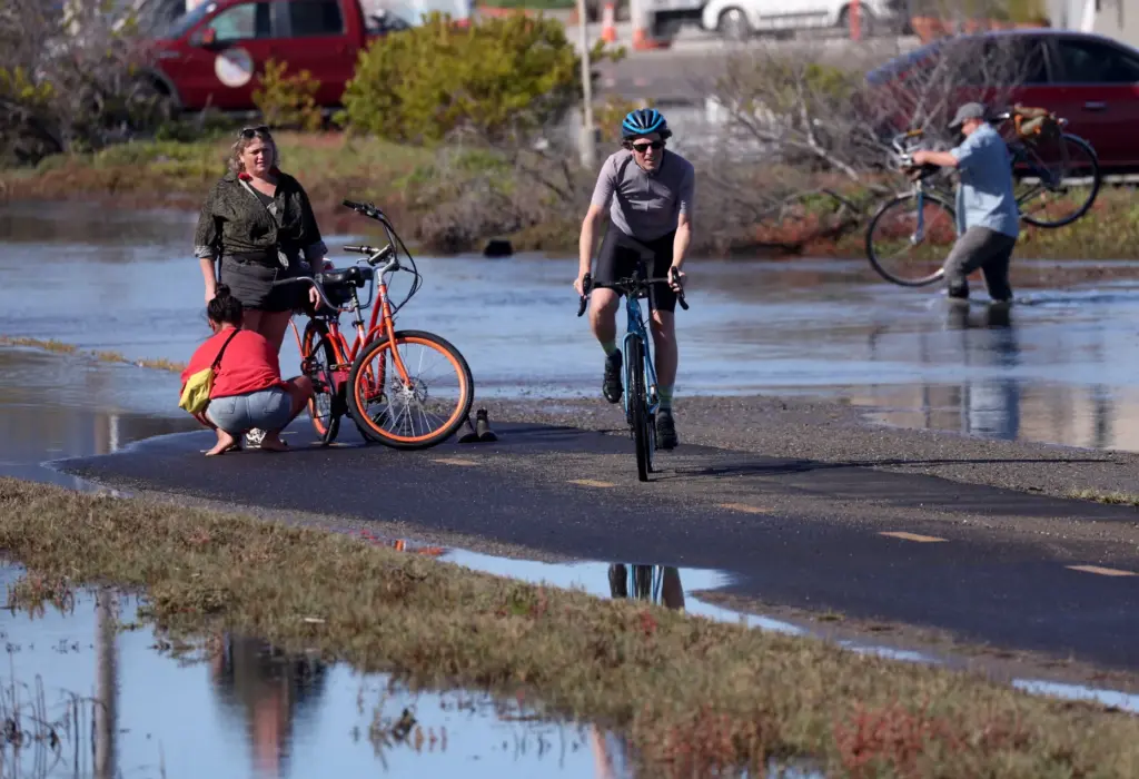 Bicyclists make their way through high tide flood waters on the Mill Valley-Sausalito multiuse path in Mill Valley, Calif., on Tuesday, October 27, 2026. (Jane Tyska/Bay Area News Group)
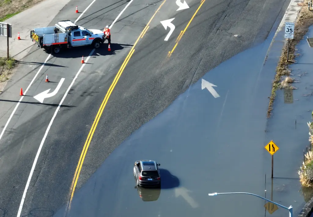 A drone view of a stranded car in high tide flood waters near U.S. 101 in Mill Valley, Calif., on Tuesday, October 27, 2026. (Jane Tyska/Bay Area News Group)
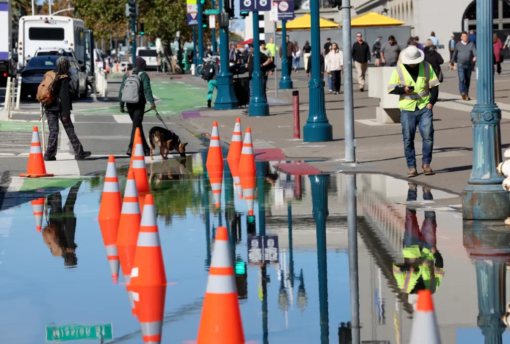 People walk past high tide flooding along the Embarcadero in San Francisco, Calif., on Tuesday, October 27, 2026. (Jane Tyska/Bay Area News Group)
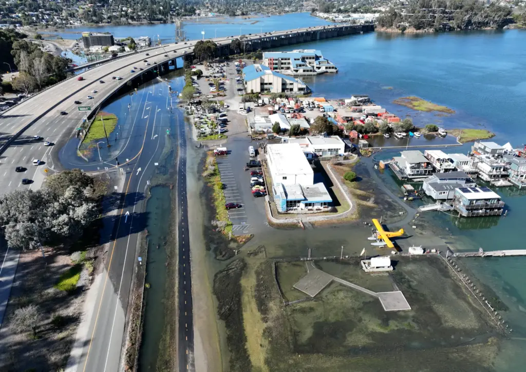 A drone view of high tide flooding near the Mill Valley-Sausalito multiuse path and U.S. 101 in Mill Valley, Calif., on Tuesday, October 27, 2026. (Jane Tyska/Bay Area News Group)
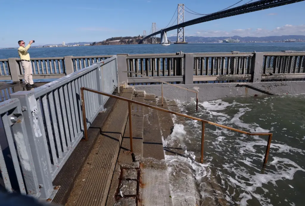 A man photographs high tide flooding along the Embarcadero in San Francisco, Calif., on Tuesday, October 27, 2026. (Jane Tyska/Bay Area News Group)
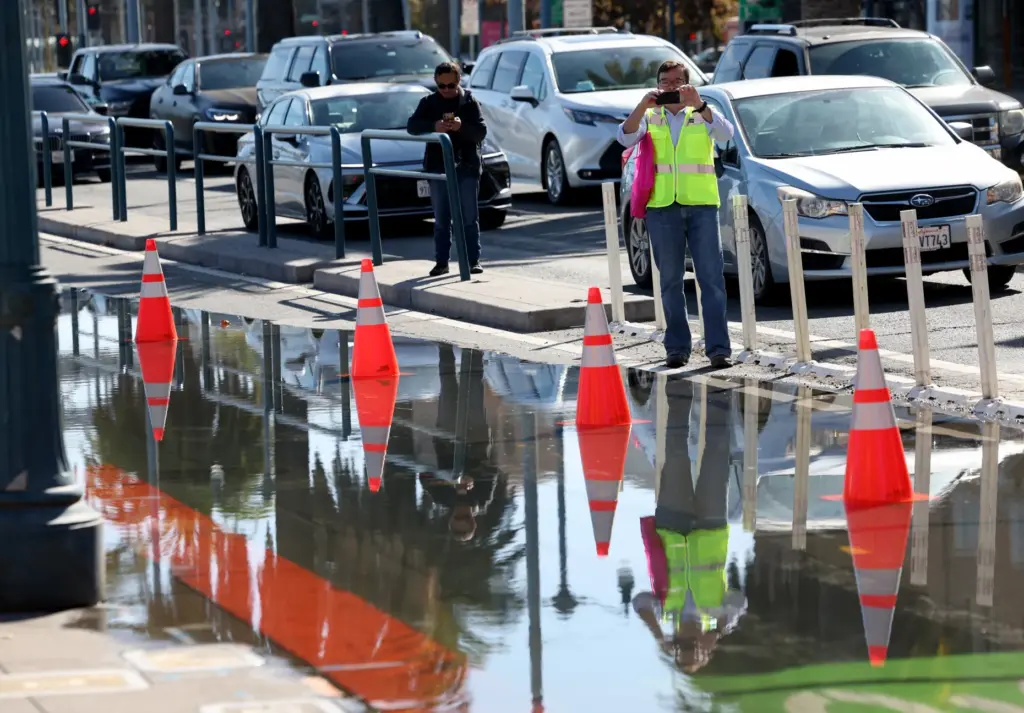 People photograph high tide flooding along the Embarcadero in San Francisco, Calif., on Tuesday, October 27, 2026. (Jane Tyska/Bay Area News Group)
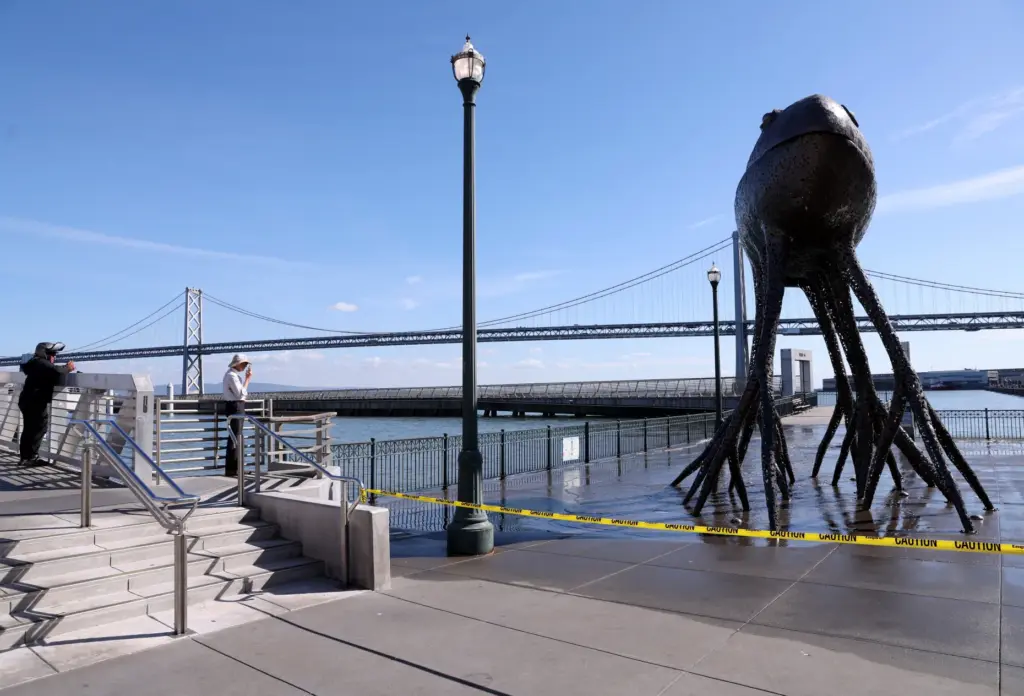 People view high tide flooding along the Embarcadero in San Francisco, Calif., on Tuesday, October 27, 2026. (Jane Tyska/Bay Area News Group)
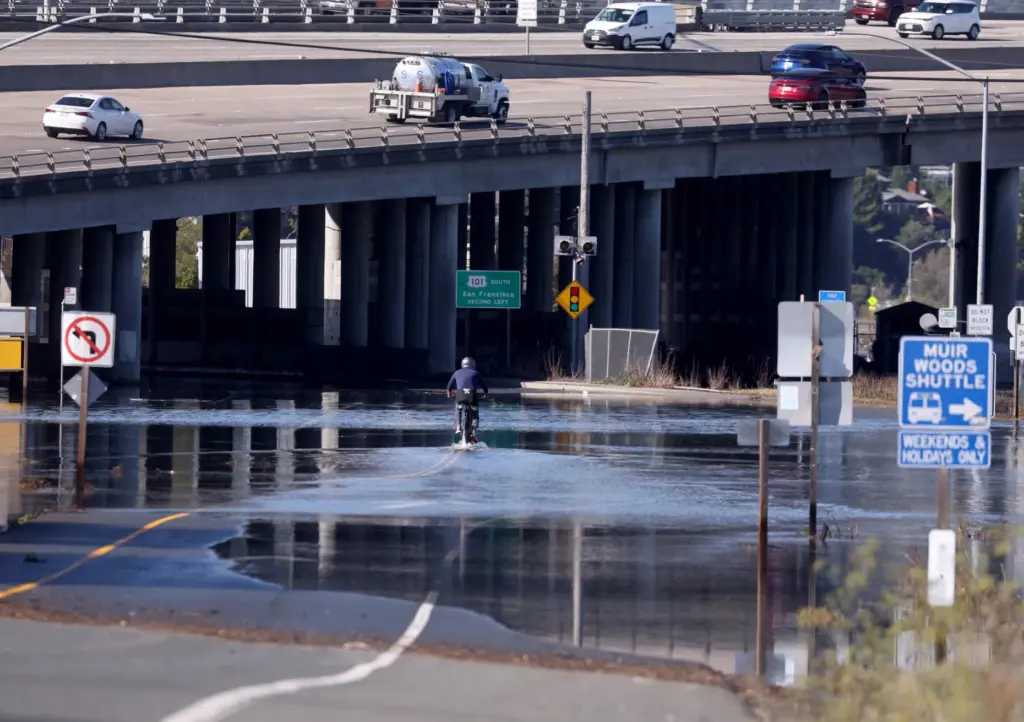 A bicyclist rides through high tide flood waters near the Mill Valley-Sausalito multiuse path and U.S. 101 in Mill Valley, Calif., on Tuesday, October 27, 2026. (Jane Tyska/Bay Area News Group)
About the Author