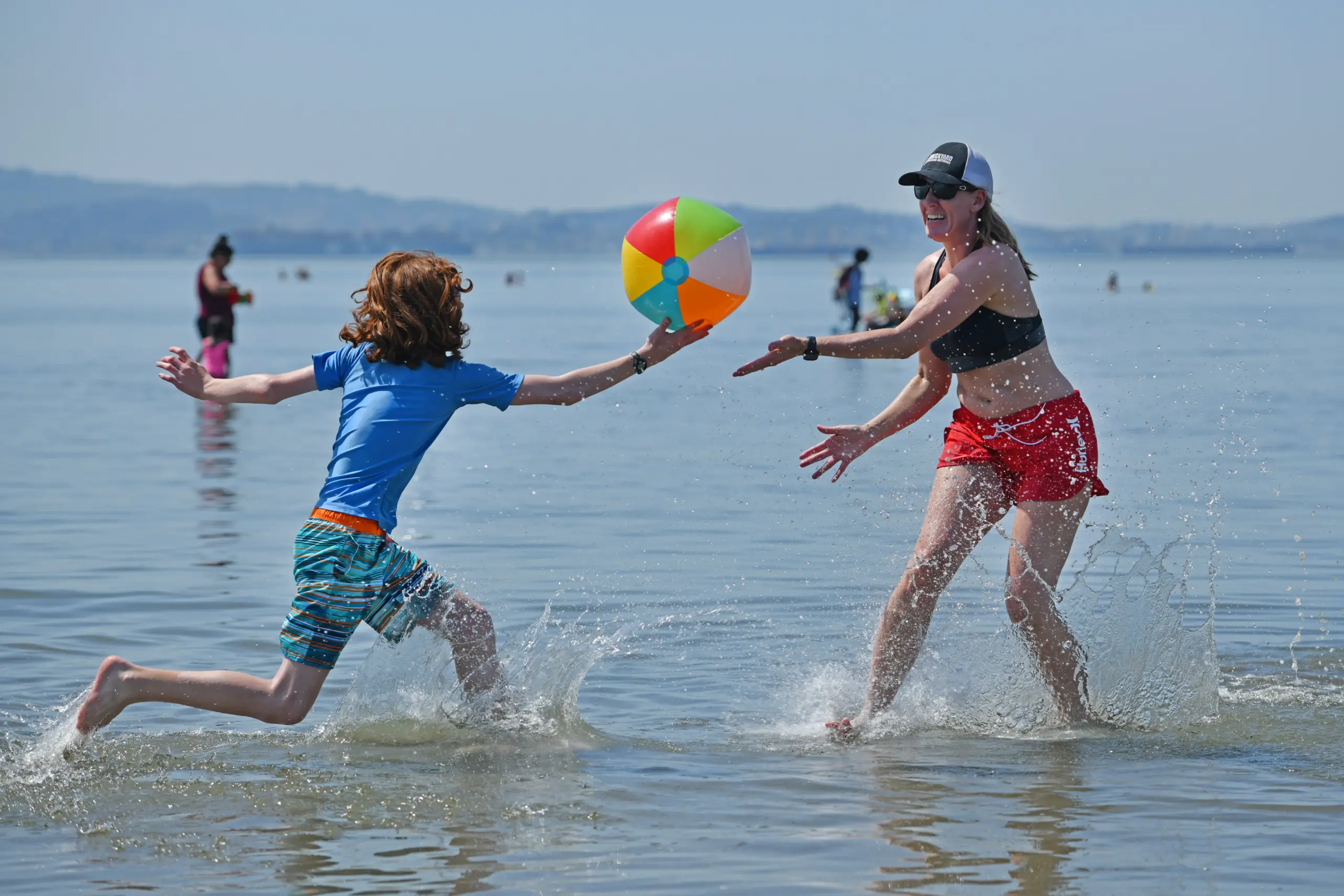
The Bay Area’s back-and-forth pendulum of hotter weather followed by a significant cooldown followed by more heat followed by more cool is about to swing back to the warmer end of the scale.
Read more White House: Kimberly Guilfoyle is asked to resign after allegations of improper conduct
But this heat-up might be more of a relief following the first real chilly spell of the fall, and the National Weather Service said it won’t be nearly as beastly as the last heat wave.
“Our warmest inland spots could hit the mid- to upper-90s, but we’re not looking at anywhere getting close to triple-digit heat,” NWS meteorologist Cindy Palmer said Tuesday. “We’re looking at a gradual heat-up, and we could have some heat risk on Friday, especially in the inland areas. But it should be short-lived.”
The gradual build will come courtesy the building of high pressure along the region that will begin on Wednesday, the first day that temperatures start to jump. The hottest inland spots in the interior East Bay are likely to peak in the upper 70s on Wednesday, the lower 80s on Thursday and the upper 80s on Friday, according to forecasts Tuesday. The weather service said those expected temperatures may go up slightly as the week progresses.
Areas of the South Bay, including San Jose, are expected to be in the high 80s or low 90s on Friday after jumping into the mid-80s on Thursday.
“We’ll also have a couple of appearances of offshore winds, the first of those (Tuesday) night,” Palmer said. “The other will probably be a couple of nights into (the warm-up). They’re not going to be overly strong, but it will bring a little bit of additional dryness into the area.”
Read more Denise Brown recalls her sister Nicole’s abuse by O.J. Simpson: ‘We were there’
As the temperatures rise, the waves at the beaches are expected to regress a bit. A coastal flood advisory for Bayshore locations along the San Francisco, San Pablo and Monterey bays expires at 3 p.m. Tuesday.
By Saturday, the temperatures are expected to be moving down again. Low pressure will move into the region as the high pressure departs, and Palmer said the atmosphere will turn “troughy.”
“We’re looking at the potential for rain on Monday and Tuesday, especially across the North Bay,” she said. “Right now, that’s still far out, so our confidence isn’t super high.”
It’s a bit higher, though not certain, that once the pendulum swings back to the cooler weather, it may stop going back-and-forth altogether.
“I feel like it’s a little early to say that,” Palmer said when asked if this will be the final heat wave of 2026. “But we’re moving into the middle of October. Not to say we couldn’t end up with another one, but we’re starting to get a little late in the year for that.”
Read more Endorsement: No on California Proposition 38, an $8.4 billion money grab
About the Author