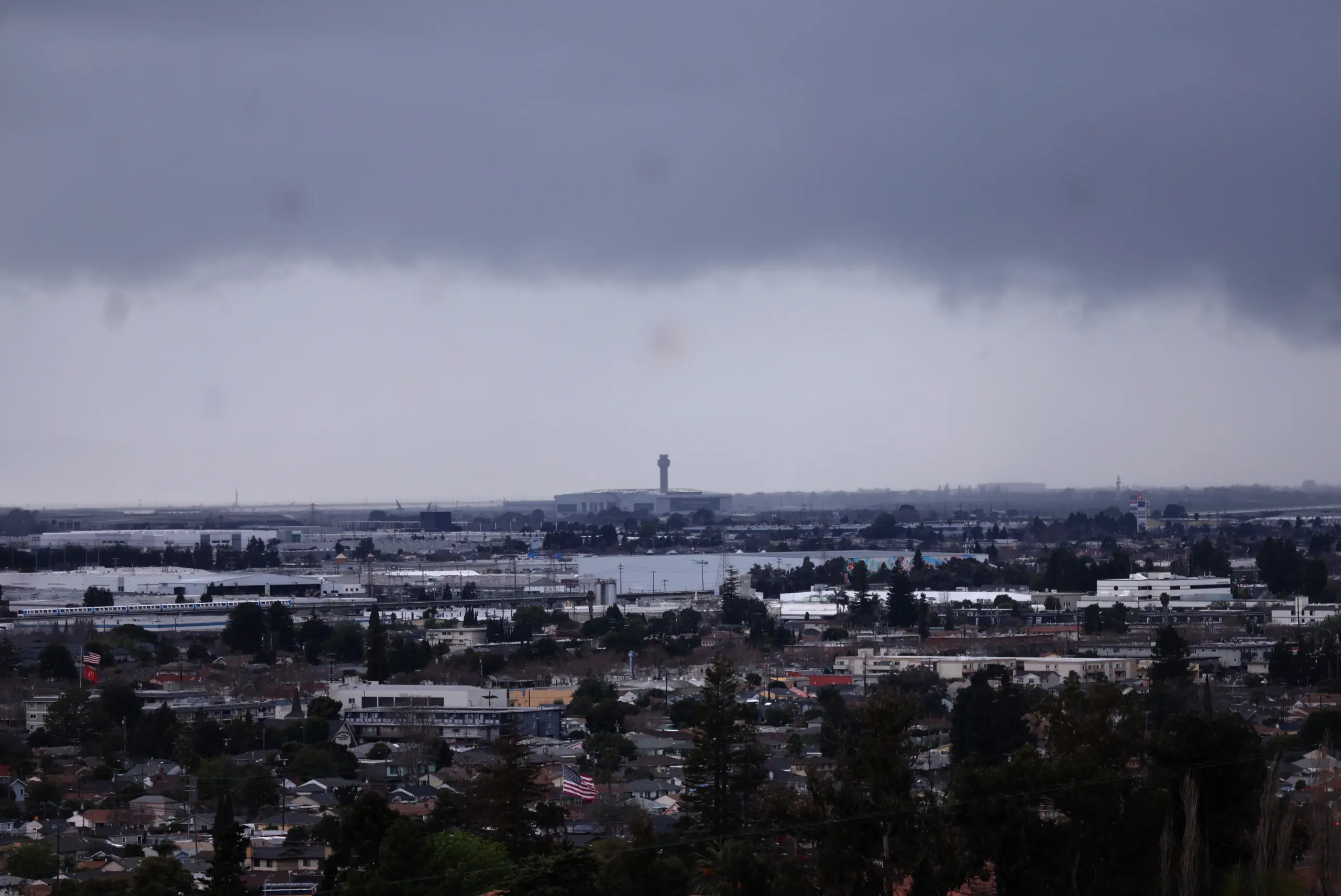
An occasional rumble of thunder may still echo through the Bay Area on Thursday, and the crack of lightning may still light up the clouds once in a while, reminders that the region’s first decent-sized storm of the rainy season still has several hours left to show its stuff before heading out of the region for good.
Read more Marines hit with $10 million claim in alleged sexual assault at Bay Area recruiting center
“The threat of thunderstorms has greatly diminished,” National Weather Service meteorologist Roger Gass said. “But we can’t rule out lightning strikes anywhere in the Bay Area of the Central Coast. The instability appears mostly to have passed, but there’s still some air that’s volatile. As far as the rain, that’s going to taper off probably early in the evening.”
RELATED: Live rain map: Where it’s raining in the Bay Area
Rain continued to fall hard enough early Thursday to keep the roads wet and slow down the morning commute. The intensity of the rain varied depending on the size of the storm cell breaking off from the main system that still was on a path through the Central Coast and Santa Cruz County.
A particularly heavy cell rolled through the East Bay late Wednesday and into Thursday, Gass said, dropping nearly a half-inch of rain on Walnut Creek and nearly a quarter-inch in areas of Concord, the weather service said.
Elsewhere, about two-tenths of an inch fell in Livermore and eight-hundredths of an inch came down in Fremont, according to the weather service. San Jose measured between .04 and .06 inches. while downtown Oakland received about .15 inches. Mt. Umunhum in the Santa Cruz Mountains received about .04 inches.
According to the weather service, the rain fell steadily if not heavily in some areas. In others, it fell quite lightly.
“It’s kind of in between,” Gass said. “We definitely are seeing the most rain being observed in the East Bay.”
That rain is likely to last at least until the sun begins to set on Thursday, Gass said. The heart of the storm system remained offshore early Thursday but was expected to move inland Thursday and Friday and take the moisture with it.
“That’ll bring the sun back and a gradual warming of temperatures,” Gass said.
Those temperatures will not approach anything unusual, and Gass said it appears that the deadline for any additional heat waves to squeeze themselves into the picture has passed.
“No promises though,” he said.
Temperatures over the weekend are expected to reach their seasonal norms, with the hottest places in the region likely to be in the low 70s. The weather service anticipates cloud cover will return early next week along with a slight dip of the high temperatures into the high 60s.
Read more Proposed data center in San Jose building used by Nvidia gets final city approval
About the Author