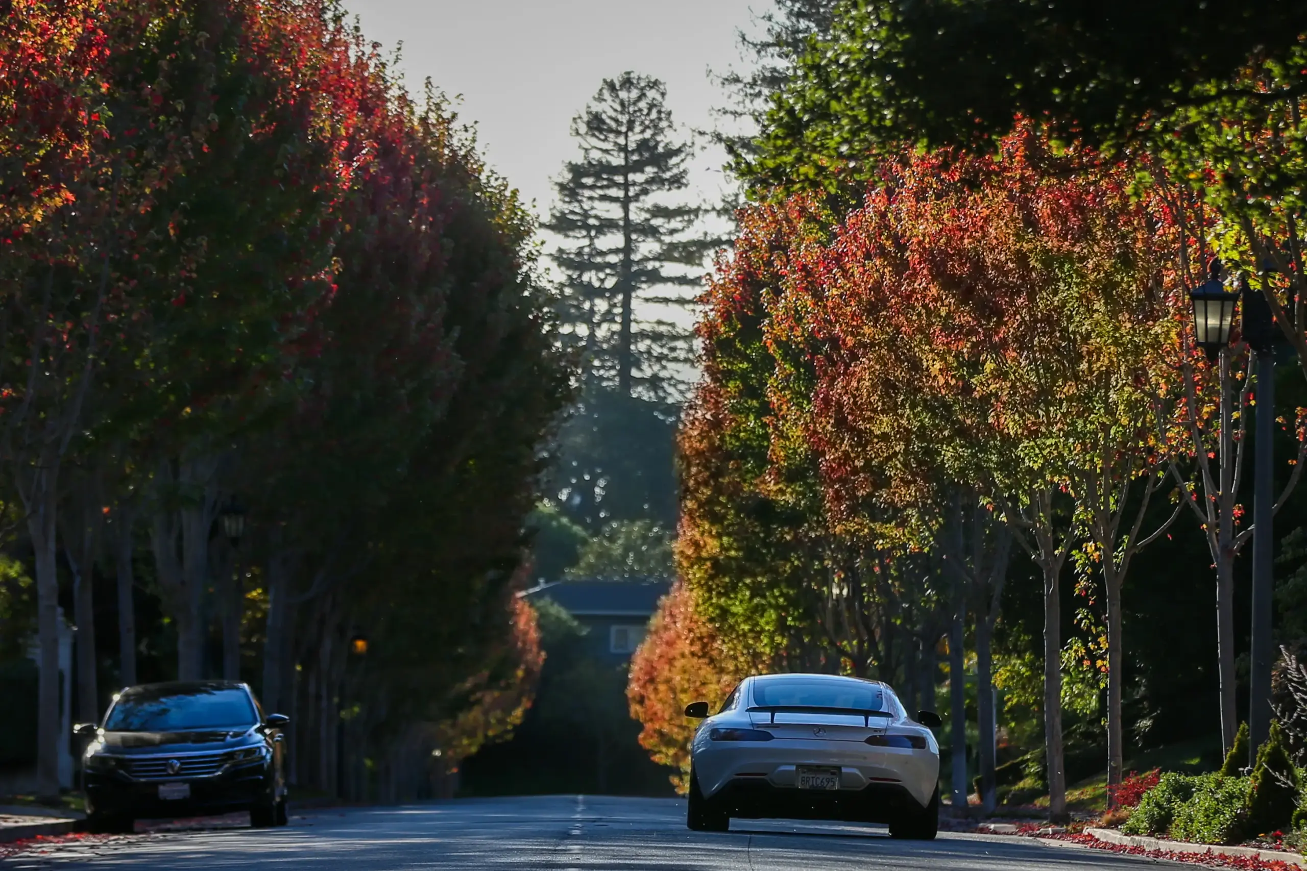
It might not be fall quite yet — the seasonal transition happens officially on Tuesday — but you won’t know it by taking in the Bay Area weather conditions that the National Weather Service said are on the menu for the weekend
Read more Election 2026: Xavier Becerra outlines wildfire preparedness plan
Mild temperatures not topping 80 degrees anywhere. Mild, cool breezes, especially as the sunset begins. A marine layer for cool mornings. An overnight or early morning hint of fog.
It’s only the days after fall begins that are the bigger concern.
“We are looking at the potential for a warming trend as we get into the middle of next week,” NWS meteorologist Lamont Bain said. “The chances for impactful heat as we get to next Wednesday are about 30-40%.”
As for the rest of summer?
“It’s gonna pretty enjoyable across the region,” Bain said. “And that’s gonna progress into the early portion of next week, until it starts to warm up.”
The barometric pressure was expected to start its gradual climb Friday into Saturday, and how high it goes will determine how hot it may ultimately get, Bain said. On Friday, temperatures were expected to peak at 80 degrees in Concord, 78 in Livermore, 75 in San Jose, 68 in Oakland, San Mateo, and Santa Cruz and 67 in San Francisco.
The weather service said a low-pressure trough in the upper atmosphere has moved east and away from the area and opened a door to invite in stratocumulus clouds. Those clouds will create “more filtered sunshine,” Bain said, adding that they are similar to thicker cumulus clouds that often move in ahead of storms.
“It’s going to be more in the way of partial sunshine,” Bain said. “There’s a little more in the way of the sun.”
Read more Authorities allege Cupertino day spa was secret brothel
Bain added the fact that the air is more stable between the upper an lower atmosphere is letting those clouds arrive without rain.
“If there was unstable air,” Bain said, “then those clouds would mean rain is coming.”
As the weekend reaches its end, the marine layer is expected to compress and the natural sea breeze is likely to shift, Bain said. That is what will allow the high pressure to take a firmer hold and the sun will become a bit more intense into the middle of next week.
“By Wednesday, we may be looking at temperatures 10-15 degrees above normal,” he said. “In the far interior of the East Bay and Santa Clara Valley it will be between 90 and 95, and in greater San Francisco and the Peninsula, it will be closer to 80.”
The sea breezes are likely to decline with the heat. But Cain said the weather experts don’t anticipate heavy winds blowing toward the ocean. Those offshore breezes create a greater fire danger, especially during the later summer and early fall.
“It’s not going to be anything crazy,” he said. “There may be some slight offshore pushes that could push the temperatures higher, but we’ll still see some sea-breeze push, especially through the weekend.”
Read more Uber ordered to pay $40 million to parents of passenger killed on California freeway
About the Author