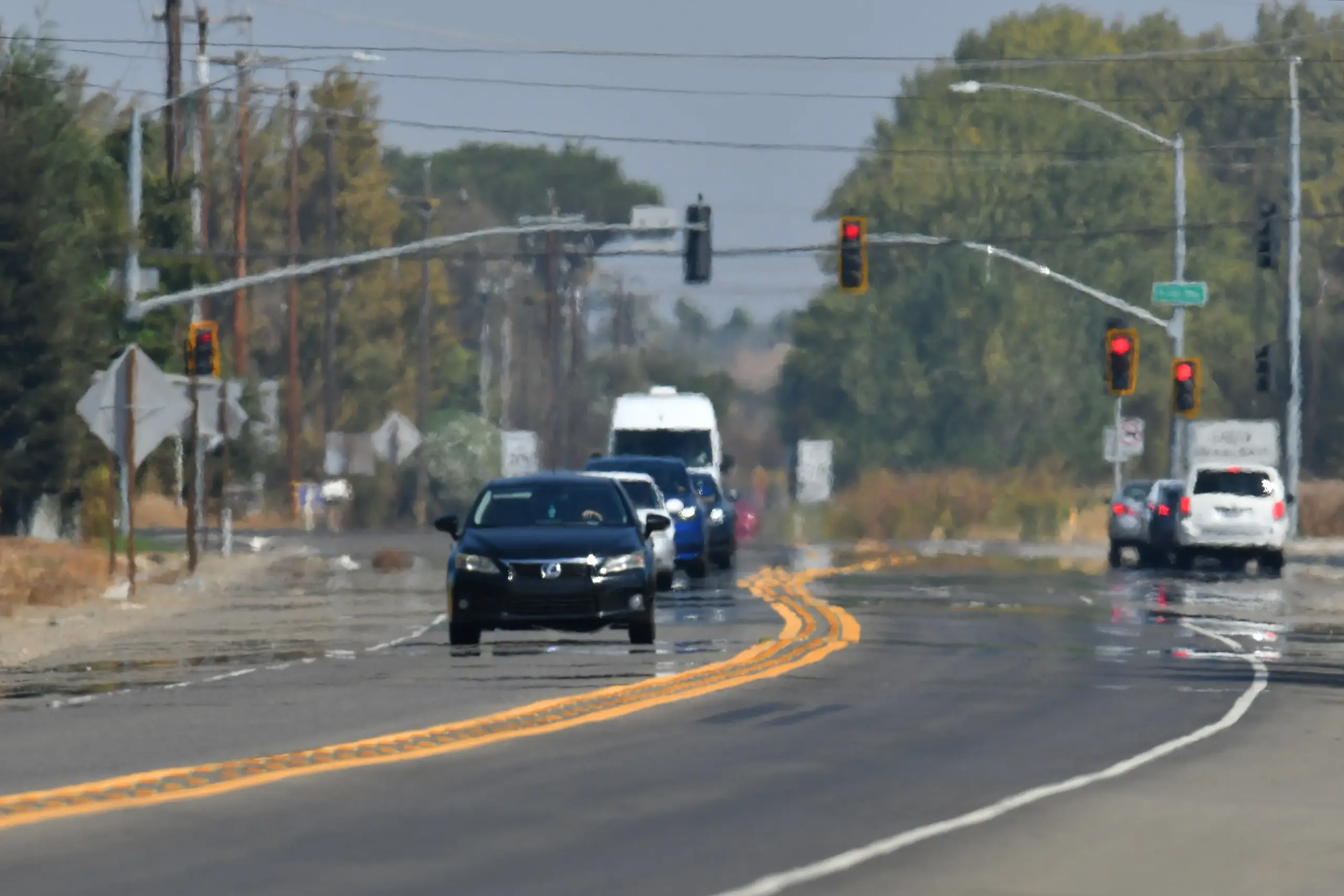
A late summer heat wave in the Bay Area is expected to peak Wednesday with temperatures in the hottest places threatening 100 degrees, the air quality more unhealthy than normal, and beaches under seige from powerful waves and rip tides.
Read more Federal judge postpones ruling on halting ICE facility construction near Gilroy
“We’re on track,” National Weather Service meteorologist Joe Merchant said. “We won’t see any major peeling back (from the heat) really until Friday.”
The cooldown from one of the more intense heat blasts of the summer actually will begin Thursday with temperatures down 4-5 degrees from their expected peaks on Wednesday. Come Friday, those same temperatures are expected to dip 15-20 degrees, with the temperatures in the region’s hottest places sitting in the low 80s.
Until then, the weather service said it will sizzle.
“Some of the hotter spots in the East Bay could reach 100 (on Wednesday),” Merchant said. “There’s going to be plenty of spots in the mid-90s. You’ve got some spots up in Sonoma County that will probably be in the high 90s. Even near the water, such as San Francisco, it’s going to threaten 90.”
A heat advisory originally scheduled to start at 10 a.m. Wednesday instead went into effect about 2:30 p.m. Tuesday, according to the weather service. It will remain in effect until 10 p.m. Thursday. The weather service said it is possible some daily heat records could fall, and warned people to stay hyrdrated and not to leave children or pets in the car.
The heat is also taking a toll on the region’s air quality. The Bay Area Air District issued a Spare the Air Alert for Wednesday, meaning wood-burning is prohibited. Areas along the Bay Coast and Peninsula are expected to have air that’s moderately healthy. In the East Bay and North Bay, the air quality is expected to be unhealthy for those with respiratory or other health issues.
Those seeking relief at the beach will face dangerous wave conditions, the weather service said. A coastal flood advisory was in effect Wednesday until 1 a.m. Thursday along the Bay Coast, San Francisco Bay, San Pablo Bay and Monterey Bay, and rip tides and cross tows were expected to be extremely powerful. The weather service said waves were expected to reach areas about 1 1/4 feet above where they normally reach.
Read more This Milpitas flag football star is small in stature, but a giant on field
About the Author