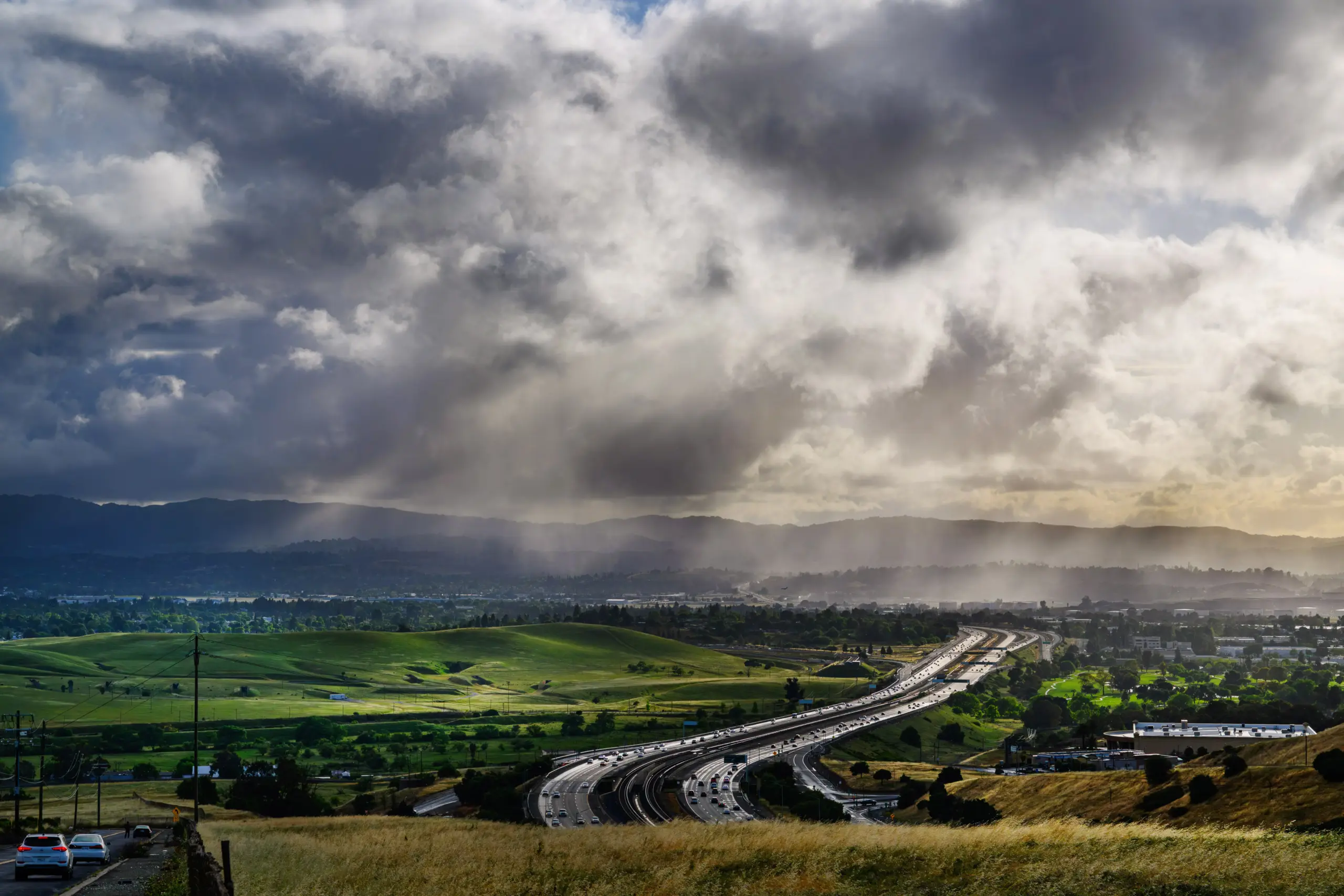
Another temperature cooldown similar to the ones that have followed other spikes in heat this summer is about to impose itself on the Bay Area, but this time another weather element may arrive with it and signal an end to the up-and-down pattern.
Read more ‘Veronica’s dad’ goes viral on KPIX as he shows the love guiding Valkyries star to a breakout season
Say hello again, maybe, to some rain come Friday.
“It’s pretty low confidence at this time, maybe a 15% chance along the central coast,” NWS meteorologist Anamaria Navarrete said. “Right now, it’s looking like Monterey, Santa Cruz and San Jose.”
That said, the weather service said the system is still developing, and that rain in small amounts could reach some inland areas of the East Bay such as Concord and Livermore.
It’s all a result of Tropical Storm Iselle, which formed over the eastern Pacific Ocean and has since weakened into a post-tropical cyclone. The remnants from that system are moving their way toward California, and Navarrete said they will mix with a cold front that’s been migrating through the region from the north.
Already, that cold front was set to put a big cool on temperatures that again were expected to crack 90 or get close to it on Thursday in the hottest spots. Those marks will be cooler than Wednesday, when the latest mini heatup peaked with the thermometer getting to 96 in Concord and Morgan Hill, according to the weather service.
On Friday, the high temperature in both of those places is expected to be 79. The weather service said that by Monday, those highs are expected to be in the low 70s.
Read more San Jose landfill ordered to reduce air pollution and odors ‘like rotten eggs and spoiled food’
“The cold front we’ve been monitoring — we knew that it would result in a big temperature cooldown,” Navarrete said. “For the most part, that cold front is dry. But because of Iselle, that cold front is now mixing with the remants of that tropical storm.”
The amount of moisture that mixes with the cold front will determine how unstable the air becomes and how far-reaching and impactful the rain might be. Already early Thursday morning, the weather service said it was tracking isolated cells far off the coast that showed frequent lightning.
Whether any of those cells reach the Bay area remains to be seen. The weather service said it was not anticipating lightning with any rain that might fall and that they didn’t anticipate more than a tenth of an inch of rain anywhere.
“Right now, the model forecasts are lacking (air) instability,” Navarrete said.
The cold front’s influence is expected to last into the early part of next week. Eventually, it’s expected to move east and may allow a window for high pressure to build and temperatures to rise again. But Navarrete said that development is still too far out into the future to determine whether a heat wave will develop.
Read more Video of rattlesnake on California beach goes viral; reminder about snakes on sand and in sea
About the Author