The relief from a heat wave that hit the Bay Area last week is likely to come with a more sticky feel to it Wednesday than in previous days, and the possibility that at least some residents in the region will see some raindrops.
Read more High school football 2026 preview: PAL El Camino Division
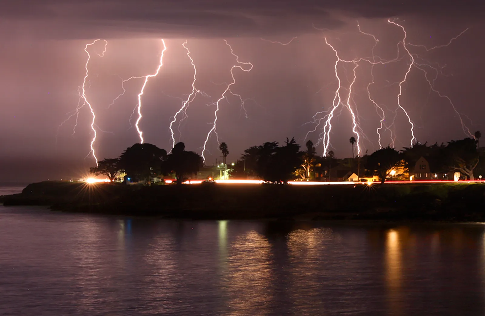
Of more concern is that the elements may create a scenario for dry lightning along the central coast, according to the National Weather Service.
“These high-based thunderstorms, they pose a risk for fire from the dry-lightning risk,” NWS meteorologist Anamaria Navarette said Wednesday. “It’s something we’re monitoring.”
Cal Fire crews in that part of the region already are battling a major wildfire. The Timber Fire had burned 3,150 acres by 6:40 a.m. Wednesday morning and was only 5% contained, the agency said.
The weather instability is coming from a low-pressure trough acting like a small wave in the upper reaches of the atmosphere. That trough disrupted the high pressure bubble near the Great Basin that was responsible for a West Coast heat wave that finally enveloped the Bay Area last week.
That low pressure is producing mid- to high-level clouds that were producing lightning, Navarette said.
Read more Fact check: Trump makes false claims as he signs order about childhood vaccines
“It’s mainly off the West Coast,” she said. “But we can see more bubbling of clouds and lightning in the San Joaquin County area and the Sierra Nevada. As far as the Bay Area, there’s probably about a 15% chance for elevated storms and lightning, primarily near the central coast. Right now, it’s a low probability but high-impact scenario.”
For the rest of the region, that means temperatures lower than their seasonal norm but higher-than-usual humidity. The hottest places in the Bay Area on Wednesday will be in the far inland regions, where the thermometer is expected to peak in the mid-80s with humidity figures running as high as 60%. In the South Bay, temperatures are expected to reach the low 80s. In Santa Cruz County, where most of the nastier weather is expected, temnperatures are expected to peak in the high 60s.
Winds also are expected to increase as the day progresses, Navarette said.
“There’s a potential for strong winds, primarily from the southwest,” she said. “They could get up to 35-45 mph — more so in the upper elevations.”
Navarette said no advisories or warnings were in effect as of Wednesday morning, but that it’s possible some could come later depending on how the low pressure develops.
That said, the nastier weather won’t be around very long.
“It should move past our area by Thursday morning,” Navarette said. “It’s a pretty fast-moving system, and it’s not going to linger fofr a long time.”
Read more Video captures rescue of river tubing group stranded for 3 days, living off bark and flowers
Please check back for updates.
About the Author