Even as the Rock Fire was coming under control in the Eastern Sierra, new wildfires cropped up just north of it.
Read more 14 North Bay hotel projects advance despite market headwinds
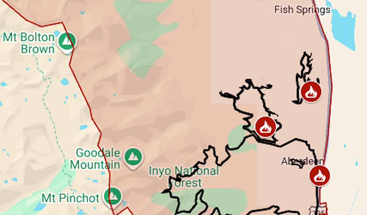
The evacuation zone from the Sierra Nevada crest to Highway 395 near Big Pine was expanded to about 235 square miles on Friday evening because of the new Cinder Complex, whose largest fires are designated as 5-3 and 5-4.
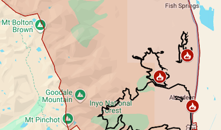
The map above shows the evacuation area in red and the approximate perimeters of Rock, 5-3 and 5-4 as black lines.
As of Monday, July 27, the week-old Rock Fire was at 12,008 acres (18.8 square miles) with 56% containment, said fire managers for Inyo National Forest. 5-3 was at 768 acres and 5-4 at 2,016 acres.
The U.S. Forest Service issued a closure order for part of Inyo National Forest, east of the crest and between the Birch Lake and Sawmill Pass trails. The Pacific Crest Trail runs just to the west of the closed area; hikers are advised that the Sawmill Pass and Taboose Pass trails can’t be used to descend into the Owens Valley.
Read more Pipe bomb suspect identified by Santa Cruz County Sheriff’s Office
Rock was one of three big wildfires last week along Highway 395, which runs through the high desert at California’s eastern edge. The Biscar Fire burned 69,344 acres northeast of Susanville, and the Elephant Fire burned 13,926 acres in southern Lassen County.
Biscar, Elephant and Rock are three of the state’s four biggest wildfires of the year, said the California Department of Forestry and Fire Protection. In the No. 2 spot is May’s Santa Rosa Island Fire, at 18,379 acres.
For updates and details of the evacuations, including warning areas, see the Genasys Protect map or the Inyo County emergency website.
Read more Lightning kills teen hiker atop 14,000-foot peak in Colorado
About the Author