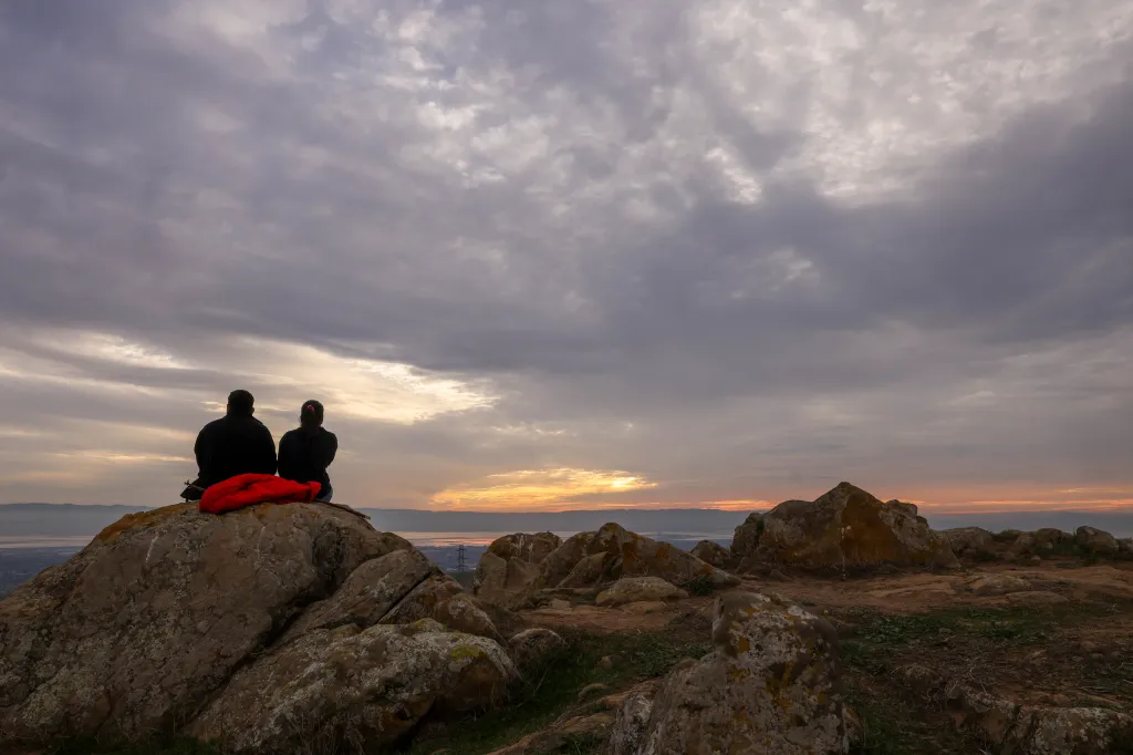
After a steady rise the past two days, temperatures in the Bay Area were set to take a significant dip on Wednesday as an upper-level low-pressure trough began to exert its influence. But that relief is likely to be brief and will carry with it a hint of warmth not generally present when low pressure moves into the region.
Read more Opinion: Big-money Bay Area interests try to shift tax burden onto the poor
“We still have dewpoints that are in the upper 50s and lower 60s,” National Weather Service meteorologist Roger Gass said Wednesday morning of the temperatures at which the grass and other vegetation becomes wet. “That’s largely in part to the tropical remnants of (Tropical Storm) Elida, and that’s why we have the moisture in the air. But that’s probably going to push out of the area as we get to the end of the week, and it’ll become the more typical drier air.”
As the humidity fades, the region will inch back to temperatures in the 90s. That process is likely to take a few days and peak by the middle of next week when temperatures likely to be back in the low to mid-90s, according to the weather service.
On Wednesday, they weren’t likely to rise much above 80 degrees anywhere in the region. The weather service said the warmest temperatures are expected to be in the Santa Clara Valley, where the thermometer was expected to crack 80 mixed with 70-75% humidity.
Throughout the region, the high temperatures were expected to be 7-10 degrees cooler than they were Tuesday.
Read more Study: Unpredictability in childhood linked to depression, obesity and mental health risks later
The moisture was so profound in the Santa Cruz Mountains early Wednesday that the weather service said they had measurable amounts of light rain. About five-hundredths of an inch fell in Santa Cruz and about .02 inches fell in Ben Lomond, the agency said.
The trough that is causing the cooldown is not expected to wield much power beyond Wednesday. Instead, a ridge of high-pressure across the western United States is expected to gain more solid traction over the region. Temperatures in the hottest interior spots such as Concord and Livermore are forecast to be back in the lower 80s on Thursday and the upper 80s on Friday.
Temperatures also will stay warm in areas close to the water. In Oakland, the thermometer is expected to reach 70 through the weekend and into next week. Ditto San Mateo. San Francisco is expected to see highs of at least 68 degrees at least through the middle of next week.
Steady light winds also are expected as the weekend nears, but Gass said they are not expected to become dangerous.
Read more Google renews leases for millions of square feet of South Bay offices
About the Author