A Bay Area heat wave that lifted the temperatures to 100 degrees in some areas of the region is in the rearview mirror, and high temperatures that are expected to peak in the upper 80s in the hottest places early in the week are expected to dip into the low 70s by the end of it.
Read more One year later, how have SF Giants’ fared since acquiring Rafael Devers in shocking blockbuster?
That is likely to mean fewer people at the beach, which the National Weather Service said would be a safe thing this week.
“There’s still dangerous conditions there,” NWS meteorologist Roger Gass said.
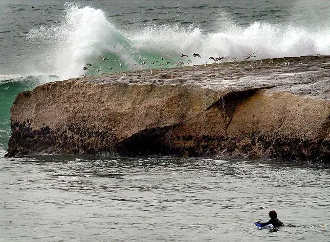
Those conditions include powerful sneaker waves and strong rip currents, elements that have been at play at the Bay Area beaches since last week. The weather service on Sunday extended a beach hazards statement for the region through 5 a.m. Thursday. That hazards statement originally had been in place through this Wednesday at 3 a.m.
Additionally, a coastal flood advisory for areas near San Francisco also was extended from Wednesday through Thursday morning. Waves are expected to be nearly 2 feet above the ground in low-lying places the tide normally doesn’t reach.
The inundation of higher tides and bigger waves began a week ago about the time the weather service announced that an El Nino has arrived in the Pacific Ocean. Among the byproducts of El Nino is that coastal flooding can increase on the West Coast during high tides.
Read more California home insurance costs to rise 16% in 2026, largest jump in U.S.
“This is more the warming of the heat wave and the thermal expansion it’s been causing that’s caused this,” Gass said of the high waves. “But as El Nino develops and we go through our summer and fall, it’s something to keep an eye on.”
As for the cooldown, it will be caused by what Gass called “troughing off the West Coast” that’s been caused by the zonal flow of low pressure from a system descending from the Gulf of Alaska. That low pressure may cause some coastal drizzle in parts of the region this week but there is not expected to be any significant rainfall, the weather service said.
High temperatures are expected to are expected to drop by 7-10 degrees in most places between Monday and Friday. On Monday, temperatures in far eastern Contra Costa County are expected to be about 85 degrees, as are the high spots in Livermore and Plesanton, traditionally the hottest places in Alameda County. San Jose is expected to peak at 82 on Monday, while San Mateo is likely to be 69, Oakland 67 and San Francisco 65.
By Friday, the high temperatures throughout the East Bay and South Bay are expected to peak at about 75 degrees, while cities close to the wather are expected not to get past 67.
Read more City may buy San Jose building to help spur housing project nearby
About the Author