The National Weather Service offered up a momentary refresher Wednesday as the thermometer began its vertical move and public safety officials urged caution against the heat and fire danger.
Read more Another chance to get hot LA28 Olympics tickets including women’s soccer in San Jose
“What we’re seeing,” NWS meteorologist Lamont Bain said, “is that the time period for the most impactful heat is going to shrink.”
Translation: The thermometer on Friday may not climb as high as originally anticipated. The low 90s that could turn into high 80s for the hottest temperatures will feel postively comfortable following Thursday’s oven-like conditions in those same places.
The weather service said temperatures Thursday surely will hit the high 90s and could crack the century mark in the far inland areas of Contra Costa and Alameda Counties, as well as in the Santa Clara Valley and Eastern Hills. Areas of the North Bay, including Napa and Santa Rosa, also are expected to be at least 97 degrees.
The agency issued a heat advisory that begins at noon Thursday and ends at 11 p.m.
“This level of heat affects most individuals sensitive to heat, especially those without effective cooling and/or adequate hydration,” the weather service wrote. They added the heat may have impacts “in some health systems and in heat-sensitive industries.”
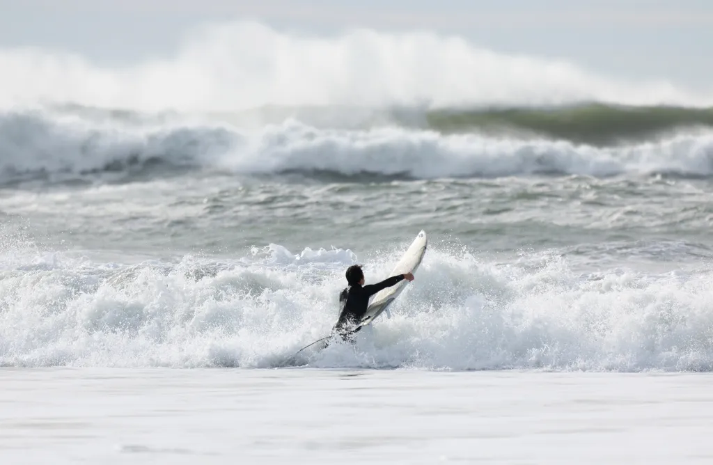
At the beaches, the waves won’t be as strong as they were Wednesday when a beach hazards statement was in effect for the Pacific Coast beaches across Santa Cruz, San Mateo, Marin and Sonoma counties because powerful sneaker waves and rip currents.
Read more Big Ten quarterback rankings: Oregon leads the way, with Ohio State and Indiana close behind
The souththerly swell causing those hazards Wednesday will calm Thursday — the beach hazards statement expires at 5 a.m. — but will be replaced by very high tides. A coastal flood advisory was set to begin Wednesay night along the North Bay ocean coast and Thursday along the San Francisco Bayshore. The weather service said the waves were expected to be up to 1½ feet above ground level in the low-lying areas.
The high tides near San Francisco will occur at 8:11 p.m. Wednesday, 8:51 p.m. on Thursday and 9:34 p.m. Friday. The flood advisories expire at 1 a.m. Saturday in the North Bay and 1 p.m. Saturday in San Francisco.
Bain said following Thursday’s heat, an off-shore jetstream flow that has compressed the marine layer and the Bay Area’s natural coolness will give way to the usual on-shore flow. As a result, the same places that will at least threaten 100 degrees Thursday likely won’t even get to 85 by Sunday.
“The marine layer will return with a vengeance,” Bain said. “The gradual on-shore flow will give us some relief initially, and then there will be that significant drop (in temperatures). It should happen once that mechanism that is driving the off-shore flow moves away from the area. The uncertainty is when that will start to happen.”
On Wednesday, temperatures were expected to peak in the mid-90s in the far inland East Bay and the low 90s in Livermore and Pleasanton, traditionally the hottest spots in Alameda County. The weather service said Morgan Hill and other parts of the Santa Clara Valley might peak at 90, while San Jose was forecast for a high of 89.
Closer to the water, Oakland and Alameda were expected to get to 80 degrees Wednesday. San Mateo was forecast to reach 77 and San Francisco 74.
Read more Paraguayan fans break the bank to see their team play in the World Cup
About the Author